MyTopo
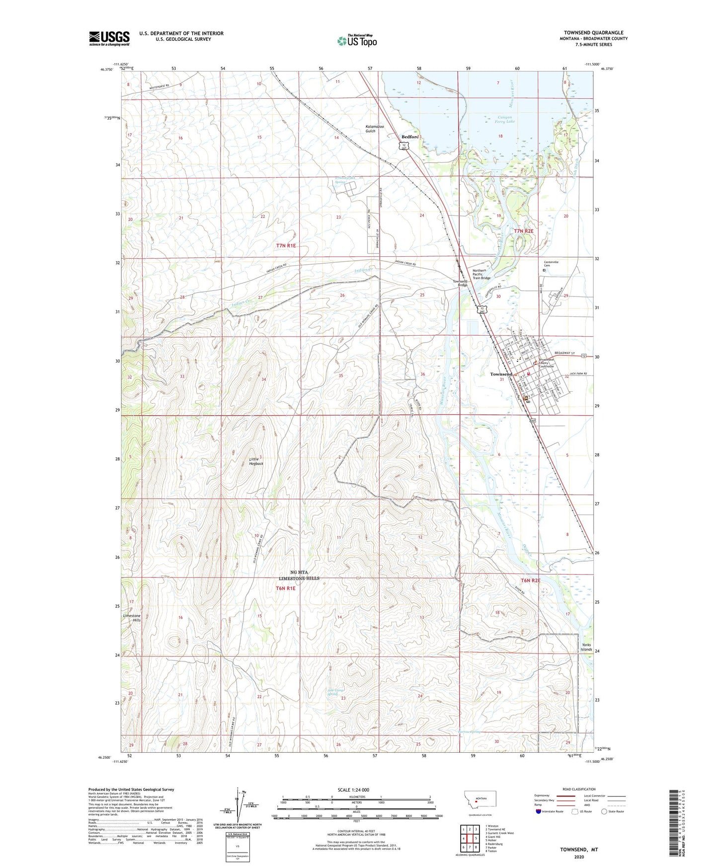
Townsend Montana US Topo Map
Couldn't load pickup availability
Also explore the Townsend Forest Service Topo of this same quad for updated USFS data
2024 topographic map quadrangle Townsend in the state of Montana. Scale: 1:24000. Based on the newly updated USGS 7.5' US Topo map series, this map is in the following counties: Broadwater. The map contains contour data, water features, and other items you are used to seeing on USGS maps, but also has updated roads and other features. This is the next generation of topographic maps. Printed on high-quality waterproof paper with UV fade-resistant inks.
Quads adjacent to this one:
West: Giant Hill
Northwest: Winston
North: Townsend NE
Northeast: Gurnett Creek West
East: Holker
Southeast: Toston
South: Parker
Southwest: Radersburg
This map covers the same area as the classic USGS quad with code o46111c5.
Contains the following named places: 06N02E05BA__01 Well, 06N02E05BB__01 Well, 06N02E05BB__02 Well, 06N02E05BB__03 Well, 06N02E05BBAC01 Well, 06N02E05BBCB01 Well, 06N02E05CC__01 Well, 06N02E06CD__01 Well, 06N02E06CD__02 Well, 06N02E08AB__01 Well, 06N02E08AB__02 Well, 06N02E08BA__01 Well, 06N02E08DB__01 Well, 06N02E08DCBC01 Well, 07N01E23BA__01 Spring, 07N01E24DD__01 Well, 07N01E24DD__02 Well, 07N01E24DD__03 Well, 07N01E25AD__01 Well, 07N02E08CD__01 Well, 07N02E08CD__02 Well, 07N02E17AB__01 Well, 07N02E17AB__02 Well, 07N02E17AB__03 Well, 07N02E17BD__01 Well, 07N02E17CD__01 Well, 07N02E17CD__02 Well, 07N02E17DB__01 Well, 07N02E17DB__02 Well, 07N02E17DB__03 Well, 07N02E17DC__01 Well, 07N02E20AB__01 Well, 07N02E20AB__02 Well, 07N02E20AB__03 Well, 07N02E20AC__01 Well, 07N02E20BB__01 Well, 07N02E20BB__02 Well, 07N02E20BC__01 Well, 07N02E20BC__02 Well, 07N02E20CB__01 Well, 07N02E20CD__01 Well, 07N02E29AB__01 Well, 07N02E29BB__01 Well, 07N02E29BB__02 Well, 07N02E29BB__03 Well, 07N02E29CA__01 Well, 07N02E29CA__02 Well, 07N02E29CABC01 Well, 07N02E29CB__01 Well, 07N02E29CC__01 Well, 07N02E29CC__02 Well, 07N02E30AA__01 Well, 07N02E30AC__01 Well, 07N02E30AC__02 Well, 07N02E30AC__03 Well, 07N02E30AC__04 Well, 07N02E30AC__05 Well, 07N02E30ACBC01 Well, 07N02E30AD__01 Well, 07N02E30AD__02 Well, 07N02E30BD__01 Well, 07N02E30CB__01 Well, 07N02E30CDDA01 Well, 07N02E30DA__01 Well, 07N02E30DC__01 Well, 07N02E30DC__02 Well, 07N02E31AA__01 Well, 07N02E31ABAA01 Well, 07N02E31AC__01 Well, 07N02E31AC__02 Well, 07N02E31ADDA01 Well, 07N02E31BB__01 Well, 07N02E31BC__01 Well, 07N02E31BD__01 Well, 07N02E31BD__02 Well, 07N02E31BD__03 Well, 07N02E31BD__04 Well, 07N02E31BD__05 Well, 07N02E31BD__06 Well, 07N02E31BD__07 Well, 07N02E31BD__08 Well, 07N02E31BDAD01 Well, 07N02E31CB__01 Well, 07N02E31CD__01 Well, 07N02E31DB__01 Well, 07N02E31DBBA01 Well, 07N02E31DC__01 Well, 07N02E31DCDA01 Well, 07N02E31DD__01 Well, 07N02E31DD__02 Well, 07N02E32AB__01 Well, 07N02E32BA__01 Well, 07N02E32BA__02 Well, 07N02E32BADB01 Well, 07N02E32BB__01 Well, 07N02E32CA__01 Well, 07N02E32CADA01 Well, 07N02E32CB__01 Well, 07N02E32CD__01 Well, 7N1E23ACBA01__ Well, 7N1E28CCBA____ Well, Alliance Bible Church, Barrow Spring, Beat' Em, Bedford, Bedford Post Office, Bedford School, Blue Ribbon Park, Broadwater County Courthouse, Broadwater County Library, Broadwater County Museum, Broadwater County Sheriff's Office, Broadwater Grain and Supply Elevator, Broadwater Health Center, Broadwater Health Center Ambulance, Broadwater Health Center Nursing Home, Broadwater High School, Broadwater School and Community Library, Centerville Cemetery, Centreville Post Office, Cheat' Em, Christian and Missionary Church, Church of Christ, City of Townsend, Cronk Training School, Deep Creek, Faith Baptist Church, Family Medical Clinic, First Baptist Church, Halloway Park, Hawkeye Elevator, Heritage Park, Holy Cross Catholic Church, Indian Creek, Indian Road Campground, Kalamazoo Gulch, Lewark, Limestone Hills, Little Hogback, Little Hogback Mine, Massa Park, McCarthy Park, Memorial Park, Northern Pacific Train Bridge, Roadrunner RV Park, Saint John Episcopal Church, Shepherd of the Valley Lutheran Church, Side Camp Spring, Springville, The Church of Jesus Christ of Latter Day Saints, Townsend, Townsend Bridge, Townsend Christian Fellowship, Townsend Elementary School, Townsend Elevator, Townsend Fire Department, Townsend Post Office, Townsend Sewage Lagoon Dam, United Methodist Church, Veterans Park, Wild Turkey Mine


