MyTopo
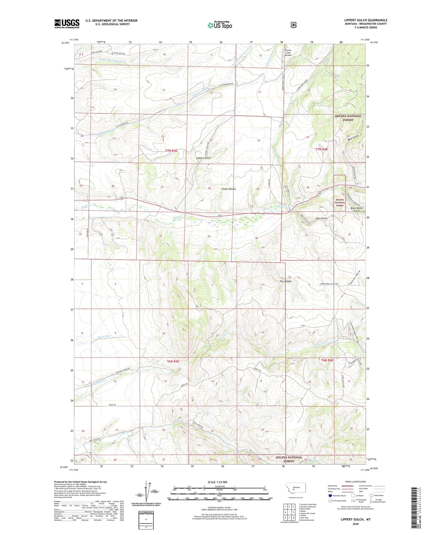
Lippert Gulch Montana US Topo Map
Couldn't load pickup availability
Also explore the Lippert Gulch Forest Service Topo of this same quad for updated USFS data
2024 topographic map quadrangle Lippert Gulch in the state of Montana. Scale: 1:24000. Based on the newly updated USGS 7.5' US Topo map series, this map is in the following counties: Broadwater. The map contains contour data, water features, and other items you are used to seeing on USGS maps, but also has updated roads and other features. This is the next generation of topographic maps. Printed on high-quality waterproof paper with UV fade-resistant inks.
Quads adjacent to this one:
West: Holker
Northwest: Gurnett Creek West
North: Gurnett Creek East
Northeast: Mount Edith
East: Sulphur Bar Creek
Southeast: Sixmile Mountain
South: Deer Park
Southwest: Toston
This map covers the same area as the classic USGS quad with code o46111c3.
Contains the following named places: 06N03E04AC__01 Well, 06N03E04BC__01 Well, 06N03E05DD__01 Well, 06N03E08AD__01 Well, 06N03E09BB__01 Well, 06N03E17DA__01 Well, 07N03E14AD__01 Well, 07N03E14AD__02 Well, 07N03E14BD__01 Well, 07N03E14BD__02 Well, 07N03E14BD__03 Well, 07N03E14DD__01 Well, 07N03E15DD__01 Well, 07N03E15DD__02 Well, 07N03E24AB__01 Well, 07N03E25DABB01 Well, 07N03E28CC__01 Well, 07N03E28DB__01 Well, 07N03E28DC__01 Well, 07N03E32AA__01 Well, 07N03E32AA__02 Well, 07N03E33BA__01 Well, 07N03E34BA__01 Well, Bear Gulch, Black Butte Gulch, Clark Ranch, Clover Crest Airpark, Cottonwood School, Deep Creek Pavillion, Deep Creek Ranger Station, Dry Creek School, Dry Hollow, East Glenwood School, Flume Hollow, Goodwin Ranch, Kieckbusch Homestead, Kieckbusch Ranch, Lippert Gulch, North Fork Cottonwood Creek, North Fork Deep Creek, Ross Gulch, Upper Deep Creek School, Walter Ranch, Williams Ranch