
MyTopo
Hailstone Basin Montana US Topo Map
Couldn't load pickup availability
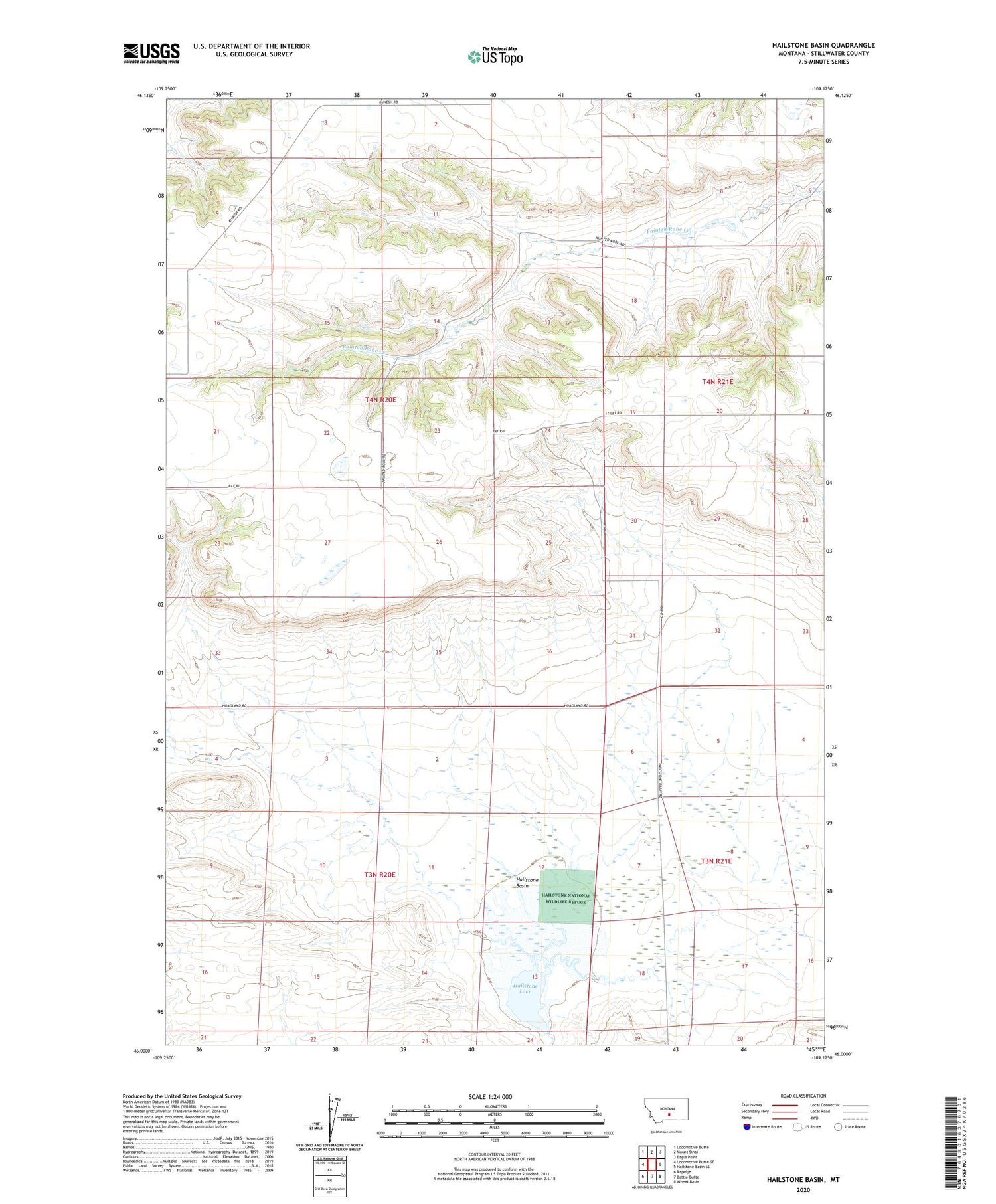
2020 topographic map quadrangle Hailstone Basin in the state of Montana. Scale: 1:24000. Based on the newly updated USGS 7.5' US Topo map series, this map is in the following counties: Stillwater. The map contains contour data, water features, and other items you are used to seeing on USGS maps, but also has updated roads and other features. This is the next generation of topographic maps. Printed on high-quality waterproof paper with UV fade-resistant inks.
Quads adjacent to this one:
West: Locomotive Butte SE
Northwest: Locomotive Butte
North: Mount Sinai
Northeast: Eagle Point
East: Hailstone Basin SE
Southeast: Wheat Basin
South: Battle Butte
Southwest: Rapelje
Contains the following named places: 03N20E02ADBA01 Well, 03N20E13ABB_01 Well, 03N21E05B___02 Well, 03N21E05BCBD01 Well, 03N21E05C___01 Well, 03N21E18DDAC01 Well, 04N20E25AAAB01 Well, 04N20E35ACAA01 Well, 04N20E36CCBC01 Well, 04N21E29BBBA01 Well, 04N21E32ACAA01 Well, 04N21E32ACBD01 Well, 04N44E35CCBD01 Well, 59067, Barley Post Office, Hailstone Basin, Hailstone Lake, Hailstone National Wildlife Refuge, Hoagland Dam


