MyTopo
Rapelje Montana US Topo Map
Couldn't load pickup availability
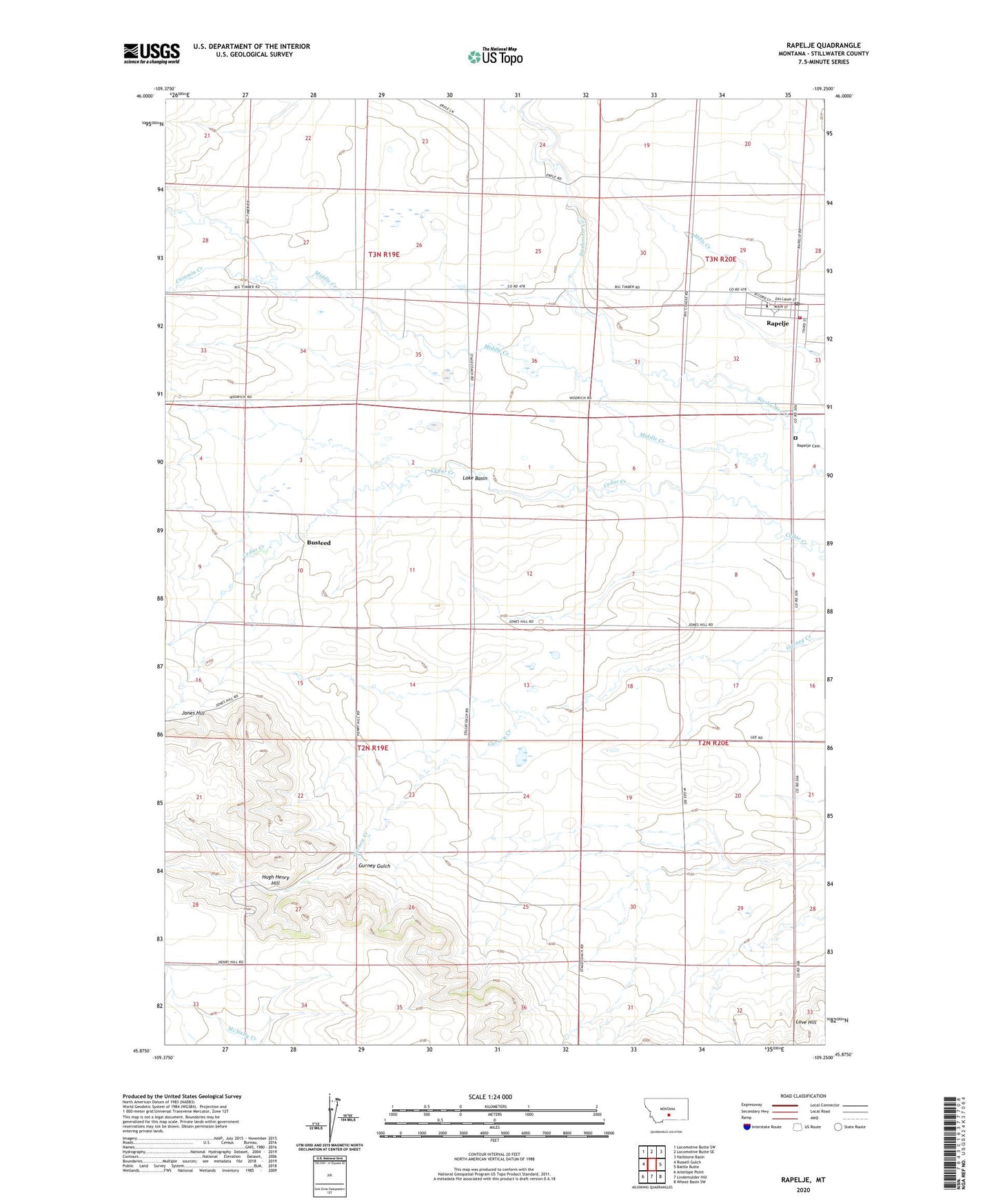
2024 topographic map quadrangle Rapelje in the state of Montana. Scale: 1:24000. Based on the newly updated USGS 7.5' US Topo map series, this map is in the following counties: Stillwater. The map contains contour data, water features, and other items you are used to seeing on USGS maps, but also has updated roads and other features. This is the next generation of topographic maps. Printed on high-quality waterproof paper with UV fade-resistant inks.
Quads adjacent to this one:
West: Russell Gulch
Northwest: Locomotive Butte SW
North: Locomotive Butte SE
Northeast: Hailstone Basin
East: Battle Butte
Southeast: Wheat Basin SW
South: Lindemulder Hill
Southwest: Antelope Point
This map covers the same area as the classic USGS quad with code o45109h3.
Contains the following named places: 02N20E08DAAA01 Well, 02N20E16BBBB01 Well, 02N20E29BB__01 Well, 03N19E35CAAB01 Well, 03N20E32AADC01 Well, Busteed, Busteed Post Office, Cummin Creek, Federal Well, Gurney Gulch, Hugh Henry Hill, Jones Hill, Love Hill, Rapelje, Rapelje Cemetery, Rapelje Census Designated Place, Rapelje Evangelical Church, Rapelje Grain Company Elevator, Rapelje Post Office, Rapelje School, Rapelje Volunteer Fire Company