MyTopo
Harlem NW Montana US Topo Map
Couldn't load pickup availability
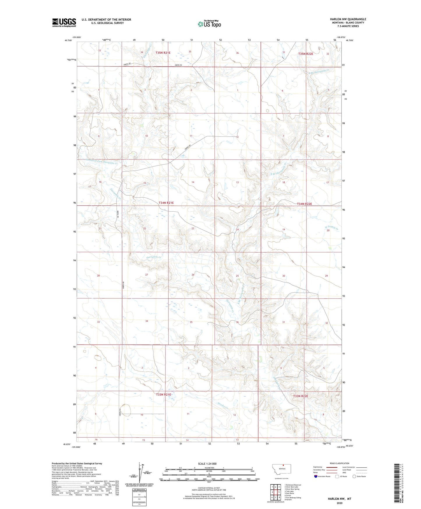
2024 topographic map quadrangle Harlem NW in the state of Montana. Scale: 1:24000. Based on the newly updated USGS 7.5' US Topo map series, this map is in the following counties: Blaine. The map contains contour data, water features, and other items you are used to seeing on USGS maps, but also has updated roads and other features. This is the next generation of topographic maps. Printed on high-quality waterproof paper with UV fade-resistant inks.
Quads adjacent to this one:
West: Tule Lake
Northwest: Richmond Reservoir
North: Silver Bow Lake
Northeast: Silver Bow Spring
East: East Butte
Southeast: Harlem
South: Fort Belknap Siding
Southwest: Zurich
This map covers the same area as the classic USGS quad with code o48108f8.
Contains the following named places: Arbagast's Ranch, East Branch Thirtymile Creek, Middle Butte School, Northwest Fork Thirtymile Creek, Sortorstorm's Ranch, Wcga Number 2 Dam