MyTopo
Harper Camp Montana US Topo Map
Couldn't load pickup availability
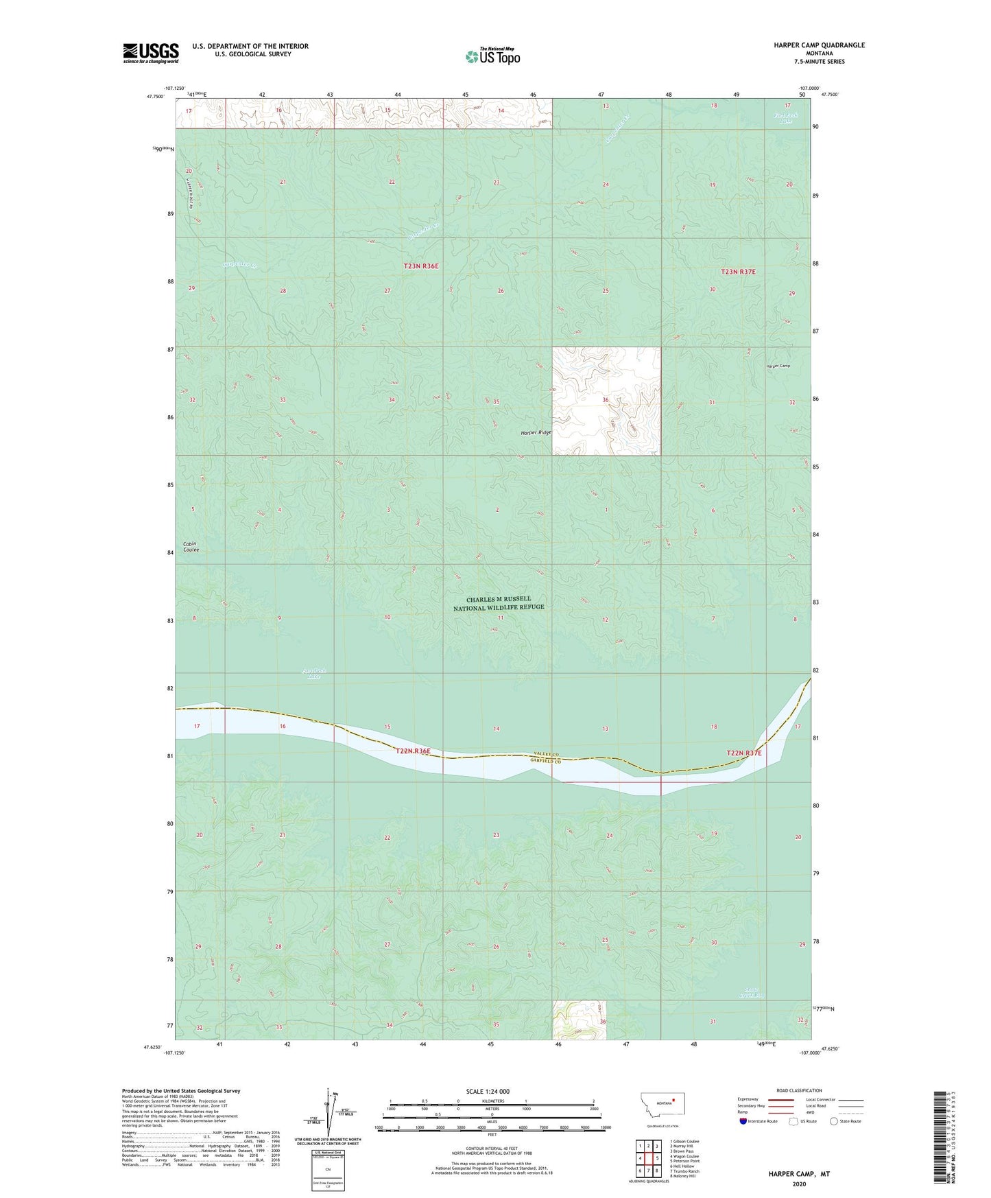
2024 topographic map quadrangle Harper Camp in the state of Montana. Scale: 1:24000. Based on the newly updated USGS 7.5' US Topo map series, this map is in the following counties: Valley, Garfield. The map contains contour data, water features, and other items you are used to seeing on USGS maps, but also has updated roads and other features. This is the next generation of topographic maps. Printed on high-quality waterproof paper with UV fade-resistant inks.
Quads adjacent to this one:
West: Wagon Coulee
Northwest: Gibson Coulee
North: Murray Hill
Northeast: Brown Pass
East: Peterson Point
Southeast: Maloney Hill
South: Trumbo Ranch
Southwest: Hell Hollow
This map covers the same area as the classic USGS quad with code o47107f1.
Contains the following named places: Cabin Coulee, Carpenter Creek, Harper Camp, Harper Ridge, Trenton Post Office