MyTopo
Gibson Coulee Montana US Topo Map
Couldn't load pickup availability
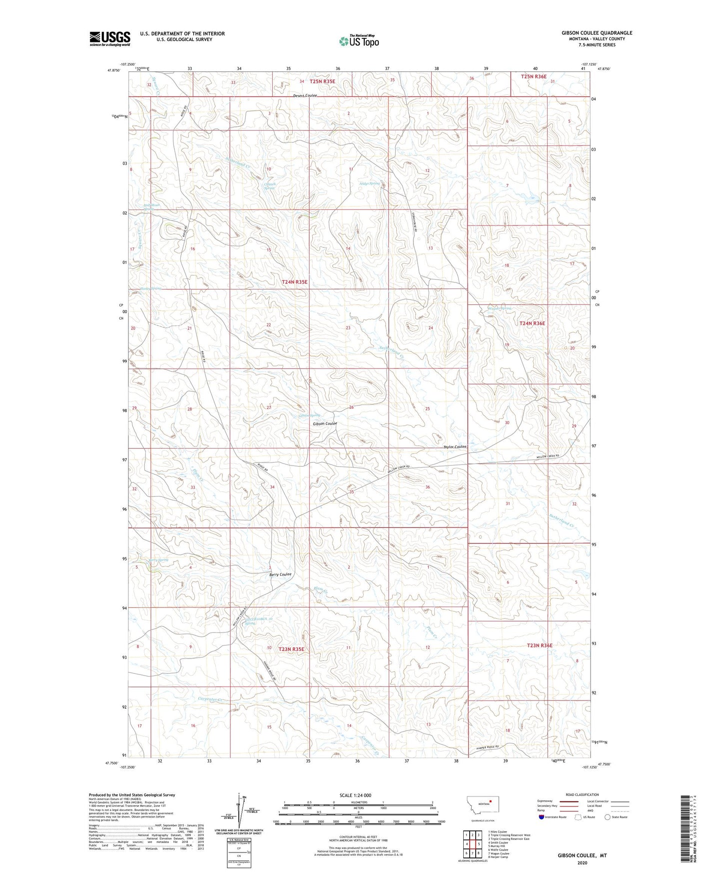
2024 topographic map quadrangle Gibson Coulee in the state of Montana. Scale: 1:24000. Based on the newly updated USGS 7.5' US Topo map series, this map is in the following counties: Valley. The map contains contour data, water features, and other items you are used to seeing on USGS maps, but also has updated roads and other features. This is the next generation of topographic maps. Printed on high-quality waterproof paper with UV fade-resistant inks.
Quads adjacent to this one:
West: Smith Coulee
Northwest: Niles Coulee
North: Triple Crossing Reservoir West
Northeast: Triple Crossing Reservoir East
East: Murray Hill
Southeast: Harper Camp
South: Wagon Coulee
Southwest: Wolfe Coulee
This map covers the same area as the classic USGS quad with code o47107g2.
Contains the following named places: 23N35E10BCA_01 Spring, Andys Spring, Berry Coulee, Berry Spring, Chittick Spring, Gibson Coulee, Gibson Spring, Half Moon Spring, Haney Spring, Taylor Coulee, Wagner Spring, Willow Creek Upper South Fork Dam