MyTopo
Sumatra Montana US Topo Map
Couldn't load pickup availability
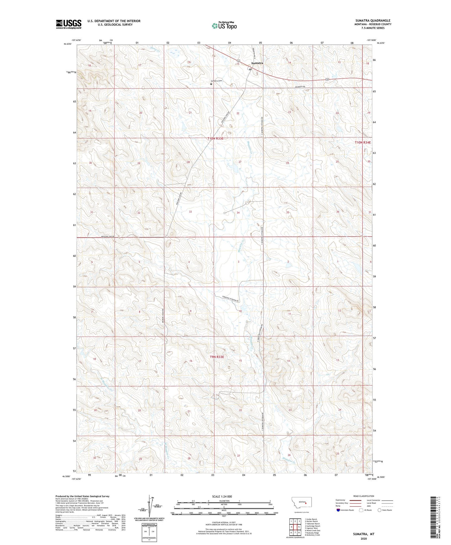
2024 topographic map quadrangle Sumatra in the state of Montana. Scale: 1:24000. Based on the newly updated USGS 7.5' US Topo map series, this map is in the following counties: Rosebud. The map contains contour data, water features, and other items you are used to seeing on USGS maps, but also has updated roads and other features. This is the next generation of topographic maps. Printed on high-quality waterproof paper with UV fade-resistant inks.
Quads adjacent to this one:
West: Guthridge Ranch
Northwest: Grebe Ranch
North: Hecker Ranch
Northeast: Yablonski Ranch
East: Ingomar West
Southeast: McKonkey Creek
South: Ruskosky Ridge
Southwest: Weed Creek East
This map covers the same area as the classic USGS quad with code o46107e5.
Contains the following named places: Bar 69 Number 4 Dam, Bar 69 Number 6 Dam, Kesterson Number 1 Dam, Kesterson Number 2 Dam, Kesterson Ranch, Liberty Valley School, Saint Isadore Church, Sumatra, Sumatra Cemetery, Sumatra Post Office, Sumatra School