MyTopo
Hillsboro Montana US Topo Map
Couldn't load pickup availability
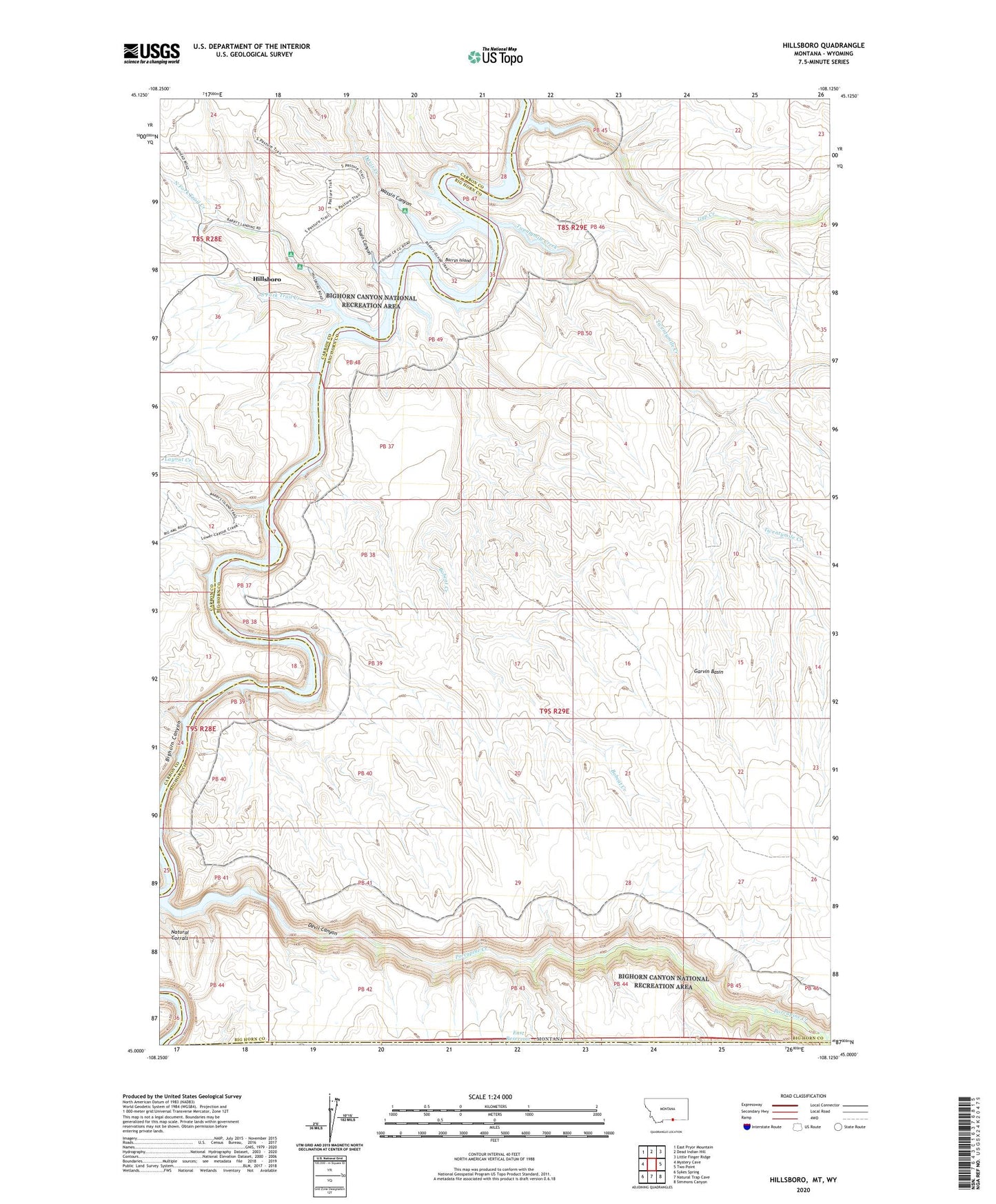
2020 topographic map quadrangle Hillsboro in the state of Montana. Scale: 1:24000. Based on the newly updated USGS 7.5' US Topo map series, this map is in the following counties: Big Horn, Carbon. The map contains contour data, water features, and other items you are used to seeing on USGS maps, but also has updated roads and other features. This is the next generation of topographic maps. Printed on high-quality waterproof paper with UV fade-resistant inks.
Quads adjacent to this one:
West: Mystery Cave
Northwest: East Pryor Mountain
North: Dead Indian Hill
Northeast: Little Finger Ridge
East: Two Point
Southeast: Simmons Canyon
South: Natural Trap Cave
Southwest: Sykes Spring
Contains the following named places: Barrys Island, Barrys Landing, Barrys Landing Campground, Bobcat Creek, Booz Canyon, Chain Canyon, Cow Camp, Davis Creek, Devil Canyon, Devils Playground, East Reservoir, Garvin Basin, Gyp Creek, Hillsboro, Hillsboro Post Office, Layout Creek, Natural Corrals, North Fork Trail Creek, Porcupine Creek, South Fork Trail Creek, Twentymile Creek, Wassin Canyon