
MyTopo
Hinsdale SE Montana US Topo Map
Couldn't load pickup availability
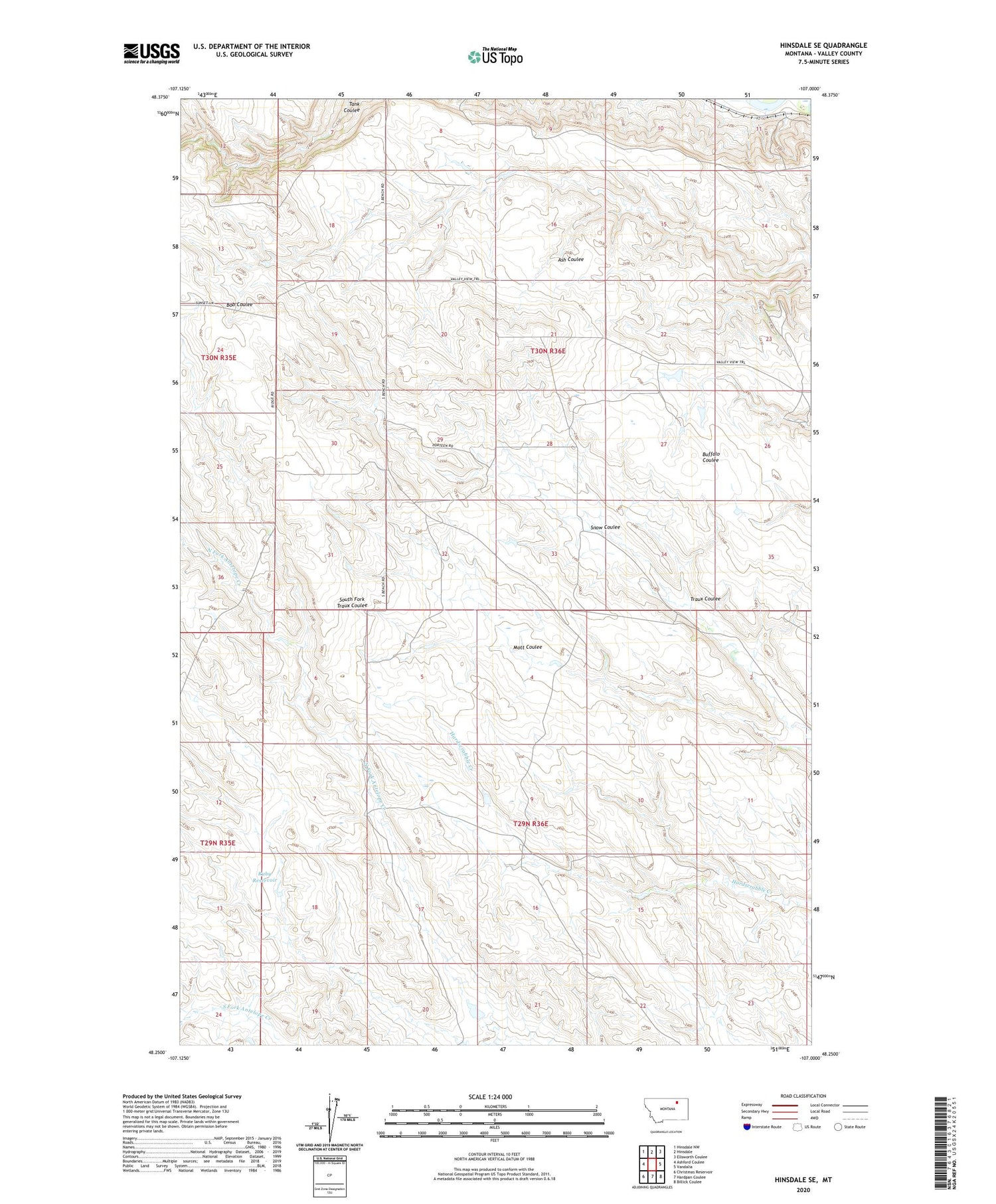
2020 topographic map quadrangle Hinsdale SE in the state of Montana. Scale: 1:24000. Based on the newly updated USGS 7.5' US Topo map series, this map is in the following counties: Valley. The map contains contour data, water features, and other items you are used to seeing on USGS maps, but also has updated roads and other features. This is the next generation of topographic maps. Printed on high-quality waterproof paper with UV fade-resistant inks.
Quads adjacent to this one:
West: Ashford Coulee
Northwest: Hinsdale NW
North: Hinsdale
Northeast: Ellsworth Coulee
East: Vandalia
Southeast: Billick Coulee
South: Hardpan Coulee
Southwest: Christmas Reservoir
Contains the following named places: 30N35E25AD__01 Well, 30N36E33AACA01 Well, Campbells, Hardscrabble School, Honga School, Kepples Ranch, Mott Coulee, Ruby Reservoir, Snow Coulee, South Bench School, Traux Coulee


