MyTopo
Horse Creek Hill Montana US Topo Map
Couldn't load pickup availability
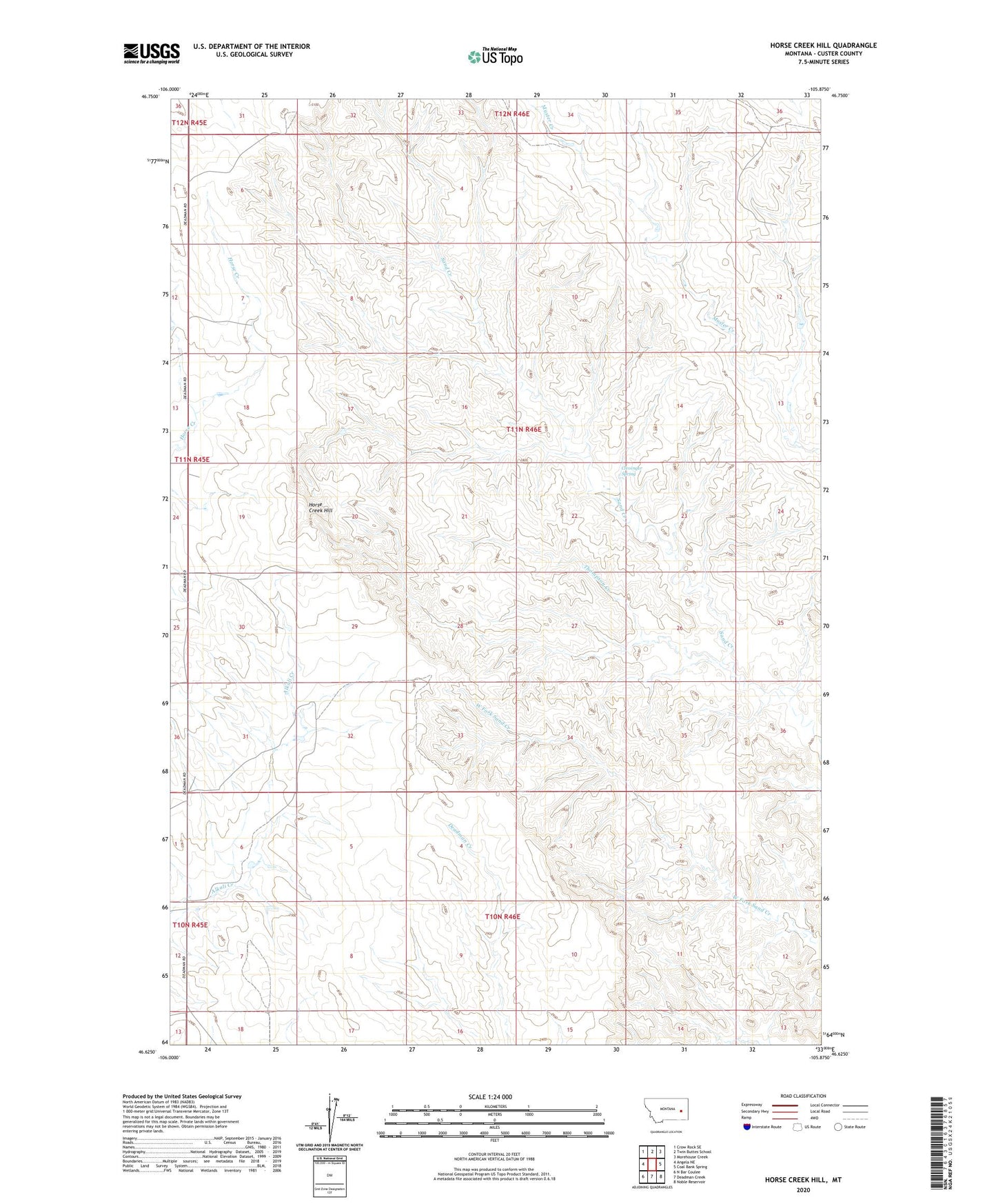
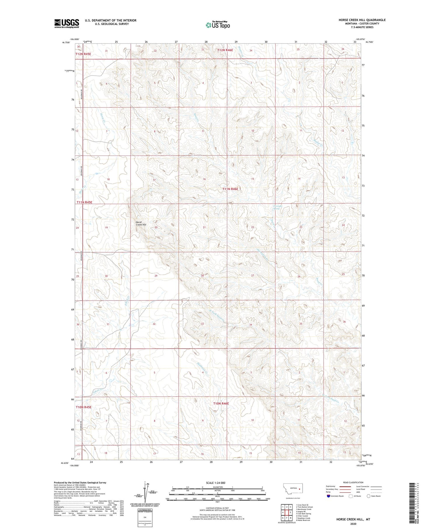
2020 topographic map quadrangle Horse Creek Hill in the state of Montana. Scale: 1:24000. Based on the newly updated USGS 7.5' US Topo map series, this map is in the following counties: Custer. The map contains contour data, water features, and other items you are used to seeing on USGS maps, but also has updated roads and other features. This is the next generation of topographic maps. Printed on high-quality waterproof paper with UV fade-resistant inks.
Quads adjacent to this one:
West: Angela NE
Northwest: Crow Rock SE
North: Twin Buttes School
Northeast: Morehouse Creek
East: Coal Bank Spring
Southeast: Noble Reservoir
South: Deadman Creek
Southwest: N Bar Coulee
Contains the following named places: 10N46E06DBCC01 Well, 10N46E06DBCC02 Well, 10N46E08CCCC01 Well, 11N46E07CBCB01 Well, 11N46E07CBCC01 Well, 11N46E07DBAB01 Well, 11N46E09BDBB01 Well, 11N46E17BABC01 Well, 11N46E19BBDB01 Well, 11N46E31CCBD01 Well, 11N46E31DDDB01 Well, 11N46E33CCAB01 Well, 22N46E21DC__10 Well, Cap Rock Number 1 Dam, Clevenger Spring, Hilcrest, Hillcrest Post Office, Horse Creek Hill, Meredith Post Office, Thompson Creek