MyTopo
Iron Spring SW Montana US Topo Map
Couldn't load pickup availability
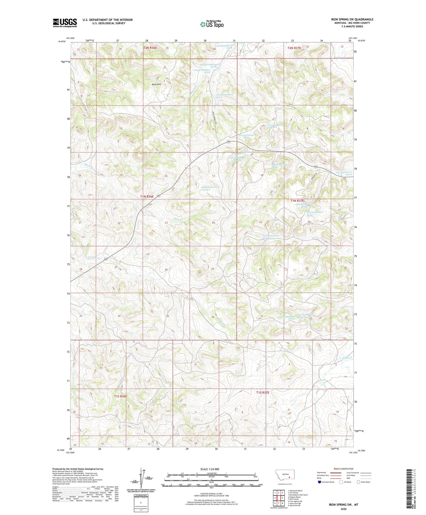
2024 topographic map quadrangle Iron Spring SW in the state of Montana. Scale: 1:24000. Based on the newly updated USGS 7.5' US Topo map series, this map is in the following counties: Big Horn. The map contains contour data, water features, and other items you are used to seeing on USGS maps, but also has updated roads and other features. This is the next generation of topographic maps. Printed on high-quality waterproof paper with UV fade-resistant inks.
Quads adjacent to this one:
West: Padlock Ranch
Northwest: Hammond Ranch
North: Iron Spring
Northeast: Minnehaha Creek South
East: Wolf School
Southeast: Jeans Fork NE
South: Jeans Fork NW
Southwest: Crow Agency NE
This map covers the same area as the classic USGS quad with code o45107g2.
Contains the following named places: 01N36E01ABCD01 Spring, 01N36E01BACA01 Well, 01N36E01BADD01 Spring, 01N36E01DCBD01 Spring, 01N36E14CCCA01 Well, 01N36E14CCDA01 Well, 01N36E22AADA01 Well, 01N36E23BABA01 Well, 01N36E25CCCC01 Well, 01N36E36CABA01 Well, 01N37E06ACAD01 Well, 01N37E07CCAA01 Spring, 01N37E07DBAC01 Spring, 01N37E08CCAD01 Well, 01N37E08CCCC01 Well, 01N37E13CCAD01 Spring, 01N37E18AABA01 Well, 01N37E18ACDA01 Spring, 01N37E18BABC01 Well, 01N37E18BBBB01 Spring, 01N37E19CDDA01 Spring, 01N37E20ABCB01 Well, 01N37E20BADC01 Spring, 01N37E20BDAC01 Spring, 01N37E20CCBC01 Well, 01N37E29DABB01 Well, 01N37E32BCDA01 Spring, 01N37E32DDCC01 Well, 01S36E01BDCD01 Well, 01S36E02DDCD01 Well, 01S37E03AABD01 Well, 01S37E03CCCC01 Well, 01S37E04ADDD01 Well, 01S37E04BDAB01 Well, 01S37E05DBCD01 Well, 01S37E06CCBB01 Well, 01S37E08CBDA01 Well, 02N36E36DDAC01 Spring, 02N37E31CBCD01 Well, 02N37E31CBDB01 Well, 02N37E31CCCB01 Well, Maschetah Post Office, Maschetah School, Spring Creek School