MyTopo
Jimtown Montana US Topo Map
Couldn't load pickup availability
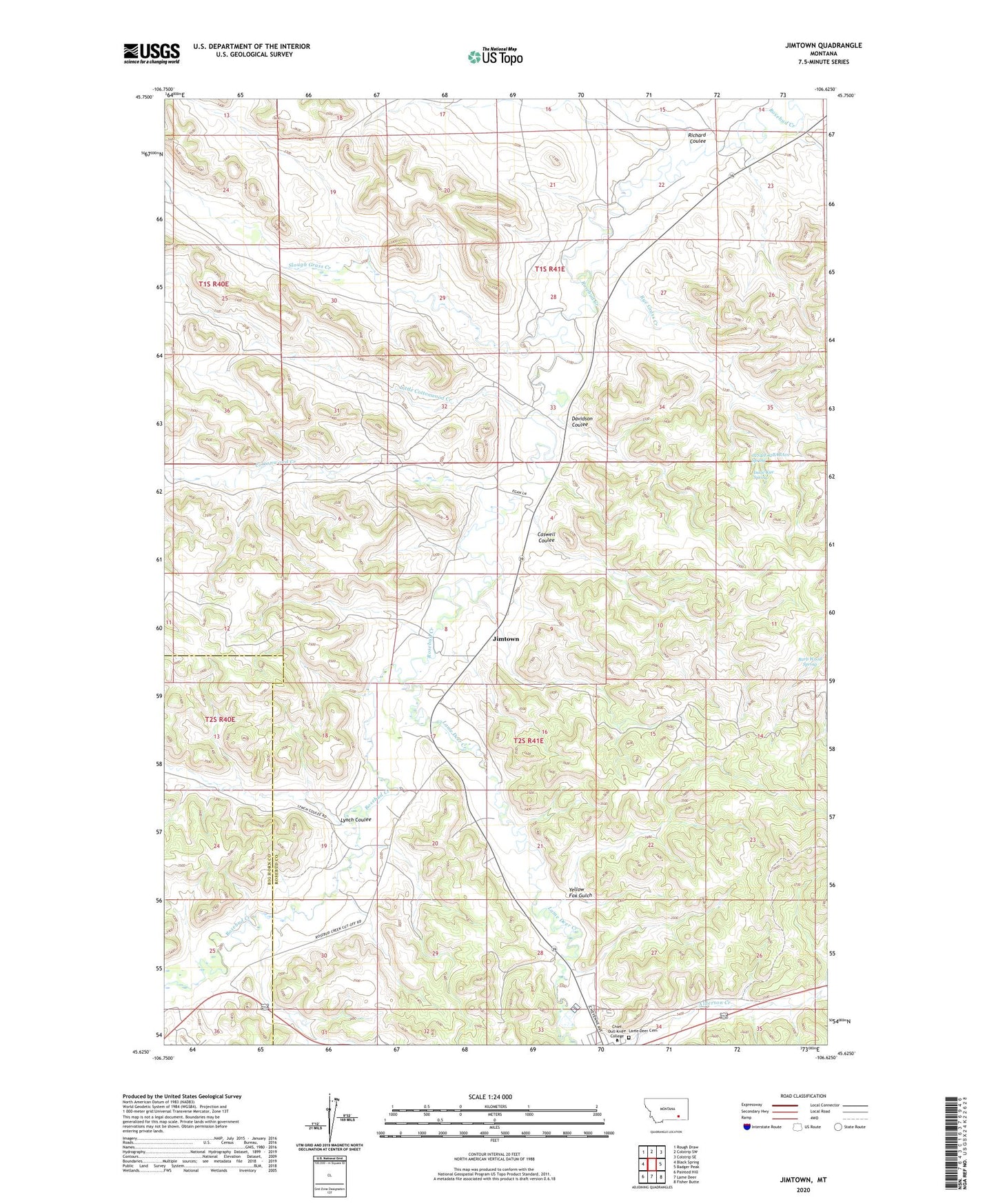
2024 topographic map quadrangle Jimtown in the state of Montana. Scale: 1:24000. Based on the newly updated USGS 7.5' US Topo map series, this map is in the following counties: Rosebud, Big Horn. The map contains contour data, water features, and other items you are used to seeing on USGS maps, but also has updated roads and other features. This is the next generation of topographic maps. Printed on high-quality waterproof paper with UV fade-resistant inks.
Quads adjacent to this one:
West: Black Spring
Northwest: Rough Draw
North: Colstrip SW
Northeast: Colstrip SE
East: Badger Peak
Southeast: Fisher Butte
South: Lame Deer
Southwest: Painted Hill
This map covers the same area as the classic USGS quad with code o45106f6.
Contains the following named places: 01S40E25ABDB01 Well, 01S41E14CCCB01 Well, 01S41E14D___01 Well, 01S41E15DDCA01 Well, 01S41E23BABC01 Well, 01S41E23BACB01 Well, 01S41E23BDBB01 Well, 01S41E23CAAB01 Well, 01S41E31BABC01 Well, 01S41E32CABA01 Well, 01S41E33DBBC01 Well, 02S41E02BABA01 Spring, 02S41E08CAD_01 Well, 02S41E08CAD_02 Well, 02S41E08CDAB01 Well, 02S41E08CDAB02 Well, 02S41E08CDAB03 Well, 02S41E09BCA_01 Well, 02S41E17BAA_01 Well, 02S41E17CCD_01 Well, 02S41E17DDD_01 Well, 02S41E19DAA_01 Well, 02S41E19DABA01 Well, 02S41E20BBC_01 Well, 02S41E20CBB_01 Well, 02S41E28BAA_01 Well, 02S41E34BADC01 Well, 02S44E03CADA01 Well, Bailey Ranch, Barb Wood Spring, Blackstone Corral, Camp Crook, Camp Merritt, Caswell Coulee, Chief Dull Knife College, Cottonwood Creek, Davidson Coulee, Davidson School, Isaac Kye Spring, Jimtown, Lame Deer Cemetery, Lame Deer Creek, Little Cottonwood Creek, Lynch Coulee, McKay Ranch, North Fork Cottonwood Creek, Richard Coulee, Rye Grass Creek, Saints Rest, Slough Grass Creek, South Fork Cottonwood Creek, Yellow Fox Gulch