MyTopo
Jordan NW Montana US Topo Map
Couldn't load pickup availability
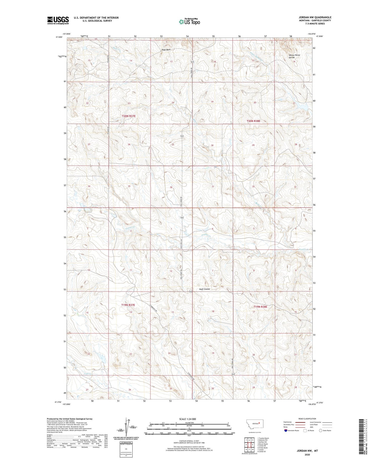
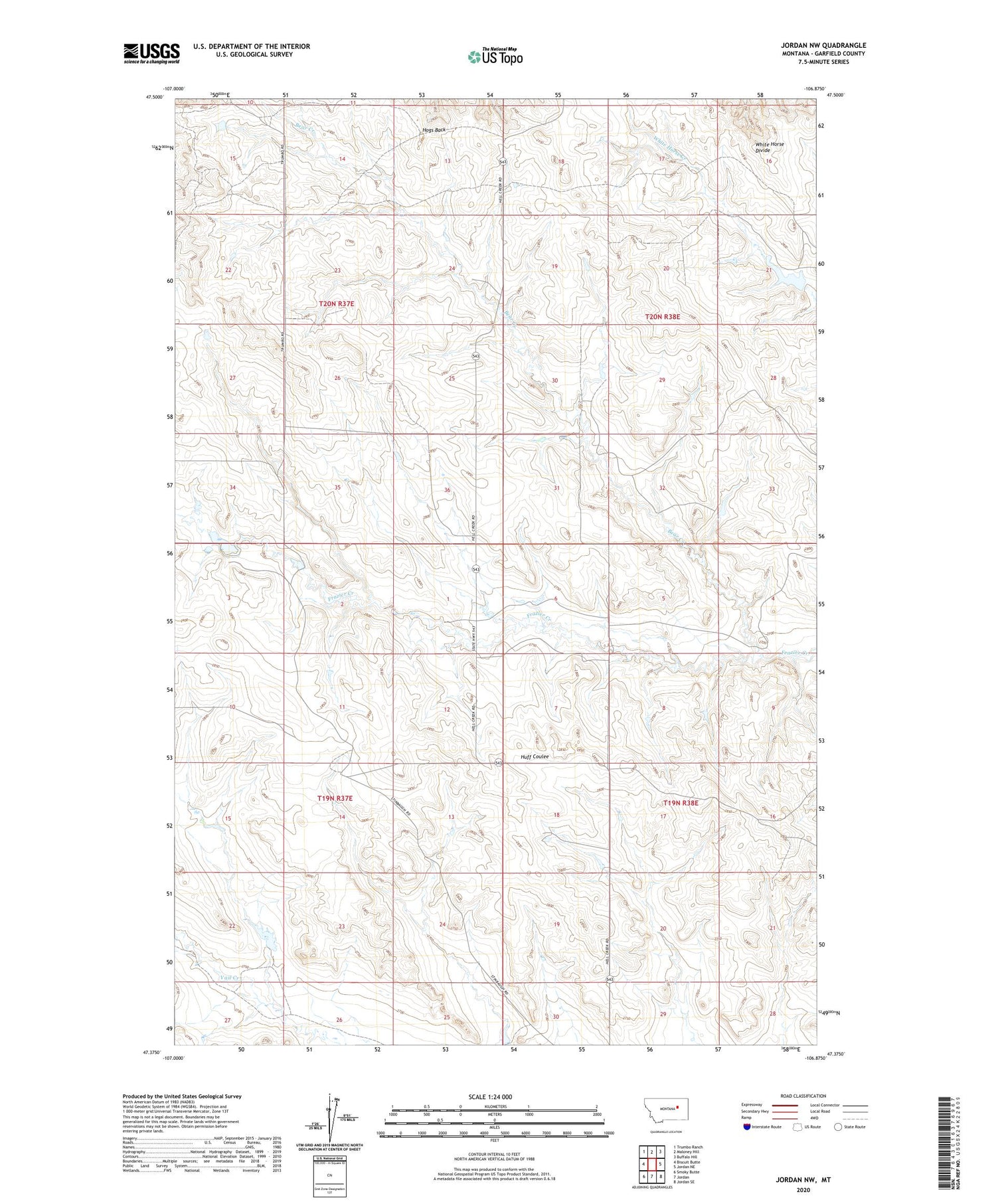
2020 topographic map quadrangle Jordan NW in the state of Montana. Scale: 1:24000. Based on the newly updated USGS 7.5' US Topo map series, this map is in the following counties: Garfield. The map contains contour data, water features, and other items you are used to seeing on USGS maps, but also has updated roads and other features. This is the next generation of topographic maps. Printed on high-quality waterproof paper with UV fade-resistant inks.
Quads adjacent to this one:
West: Biscuit Butte
Northwest: Trumbo Ranch
North: Maloney Hill
Northeast: Buffalo Hill
East: Jordan NE
Southeast: Jordan SE
South: Jordan
Southwest: Smoky Butte
Contains the following named places: 19N37E13ADDB01 Well, 20N37E24DBDA01 Well, B Murion Number 5 Dam, Bear Creek, Murion B Number 4 Dam, Olson Dam, Stinebaugh Number 1 Dam, Stinebaugh Number 2 Dam