MyTopo
Lodge Pole NW Montana US Topo Map
Couldn't load pickup availability
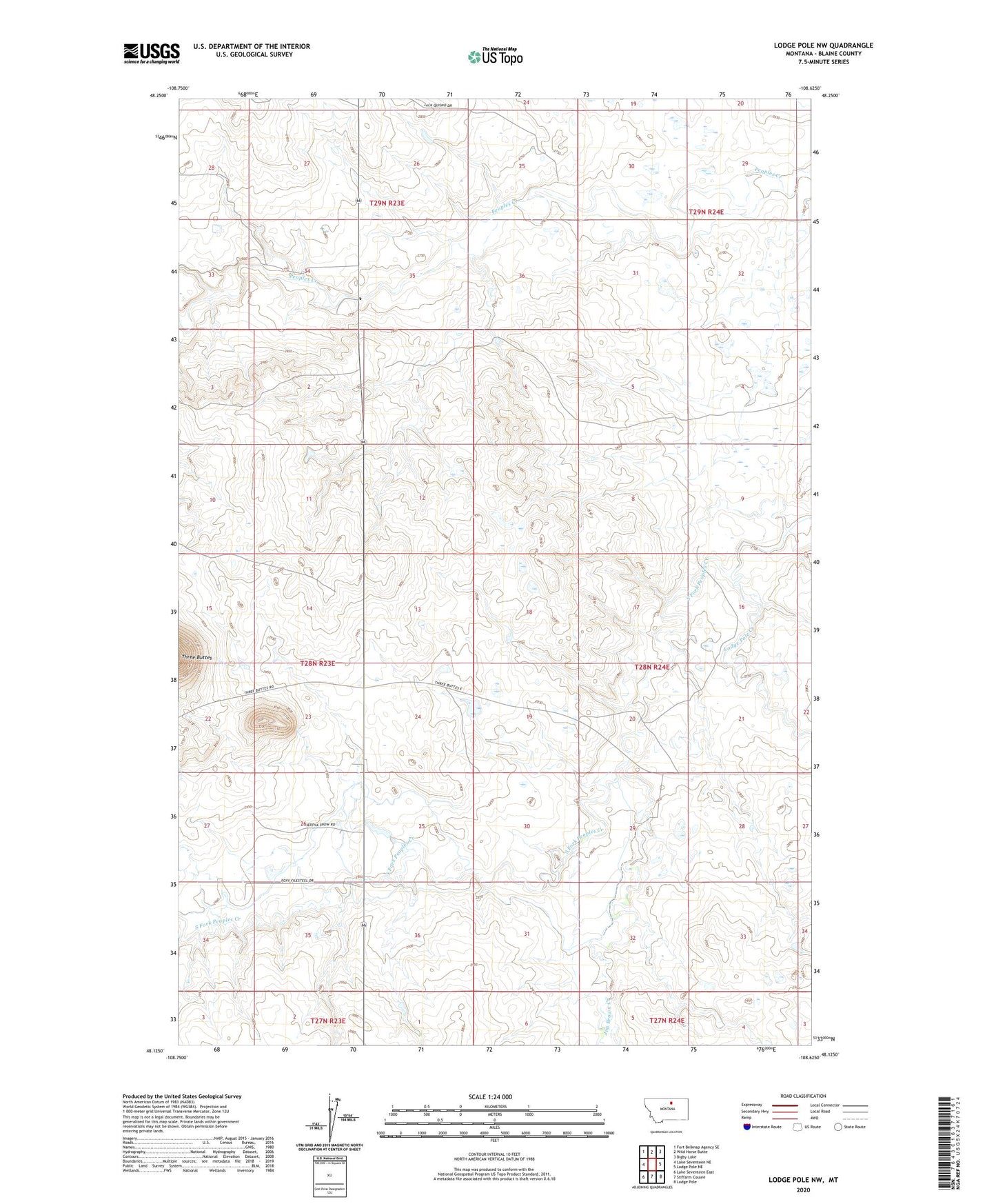
2024 topographic map quadrangle Lodge Pole NW in the state of Montana. Scale: 1:24000. Based on the newly updated USGS 7.5' US Topo map series, this map is in the following counties: Blaine. The map contains contour data, water features, and other items you are used to seeing on USGS maps, but also has updated roads and other features. This is the next generation of topographic maps. Printed on high-quality waterproof paper with UV fade-resistant inks.
Quads adjacent to this one:
West: Lake Seventeen NE
Northwest: Fort Belknap Agency SE
North: Wild Horse Butte
Northeast: Bigby Lake
East: Lodge Pole NE
Southeast: Lodge Pole
South: Stiffarm Coulee
Southwest: Lake Seventeen East
This map covers the same area as the classic USGS quad with code o48108b6.
Contains the following named places: 28N23E23BAA_01 Well, 28N23E25ADDA01 Well, 28N23E27ADD_01 Well, 28N23E27ADDC01 Well, 28N23E34AAAC01 Well, 28N23E34AAD_01 Well, 28N23E34AAD_02 Well, 28N23E36BAB_01 Well, 28N24E29DBAB01 Well, 28N24E30BBCD01 Well, 28N24E32CCAA01 Well, 29N23E25DBD_01 Well, 29N23E25DBD_02 Well, 29N23E34DDCB01 Well, Fort Belknap Division, Fort Belknap Number 34 Dam, Fort Belknap Number 35 Dam, Fort Belknap Reservation, Jim Brown Creek, Lodge Pole Creek, Three Buttes