MyTopo
Lake Seventeen East Montana US Topo Map
Couldn't load pickup availability
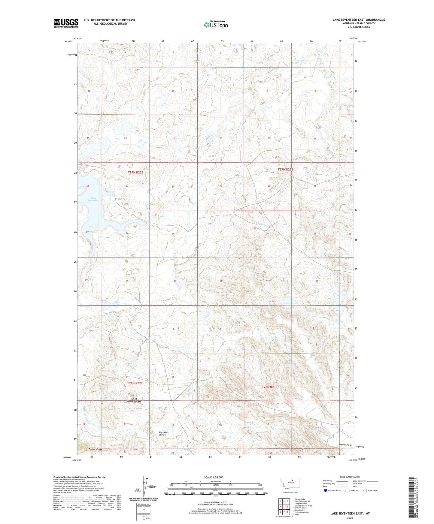
2024 topographic map quadrangle Lake Seventeen East in the state of Montana. Scale: 1:24000. Based on the newly updated USGS 7.5' US Topo map series, this map is in the following counties: Blaine. The map contains contour data, water features, and other items you are used to seeing on USGS maps, but also has updated roads and other features. This is the next generation of topographic maps. Printed on high-quality waterproof paper with UV fade-resistant inks.
Quads adjacent to this one:
West: Lake Seventeen West
Northwest: Putnam Lake
North: Lake Seventeen NE
Northeast: Lodge Pole NW
East: Stiffarm Coulee
Southeast: Hays
South: Crazyman Coulee
Southwest: John Coulee
This map covers the same area as the classic USGS quad with code o48108a7.
Contains the following named places: 27N23E03CDCC01 Well, 27N23E09AADA01 Well, 27N23E10BBBD01 Well, 27N23E10BBBD02 Well, 27N23E34BCAB01 Well, 59527, Fort Belknap Number 22 Dam, Fort Belknap Number 23 Dam, Fort Belknap Number 25 Dam, Hays District, Lake Seventeen, Lake Seventeen Dam, Running Crow Creek, Skinners Lake, Skinners Lake Dam, Spirit Woman Butte, Warneke Coulee