
MyTopo
Lohman SE Montana US Topo Map
Couldn't load pickup availability
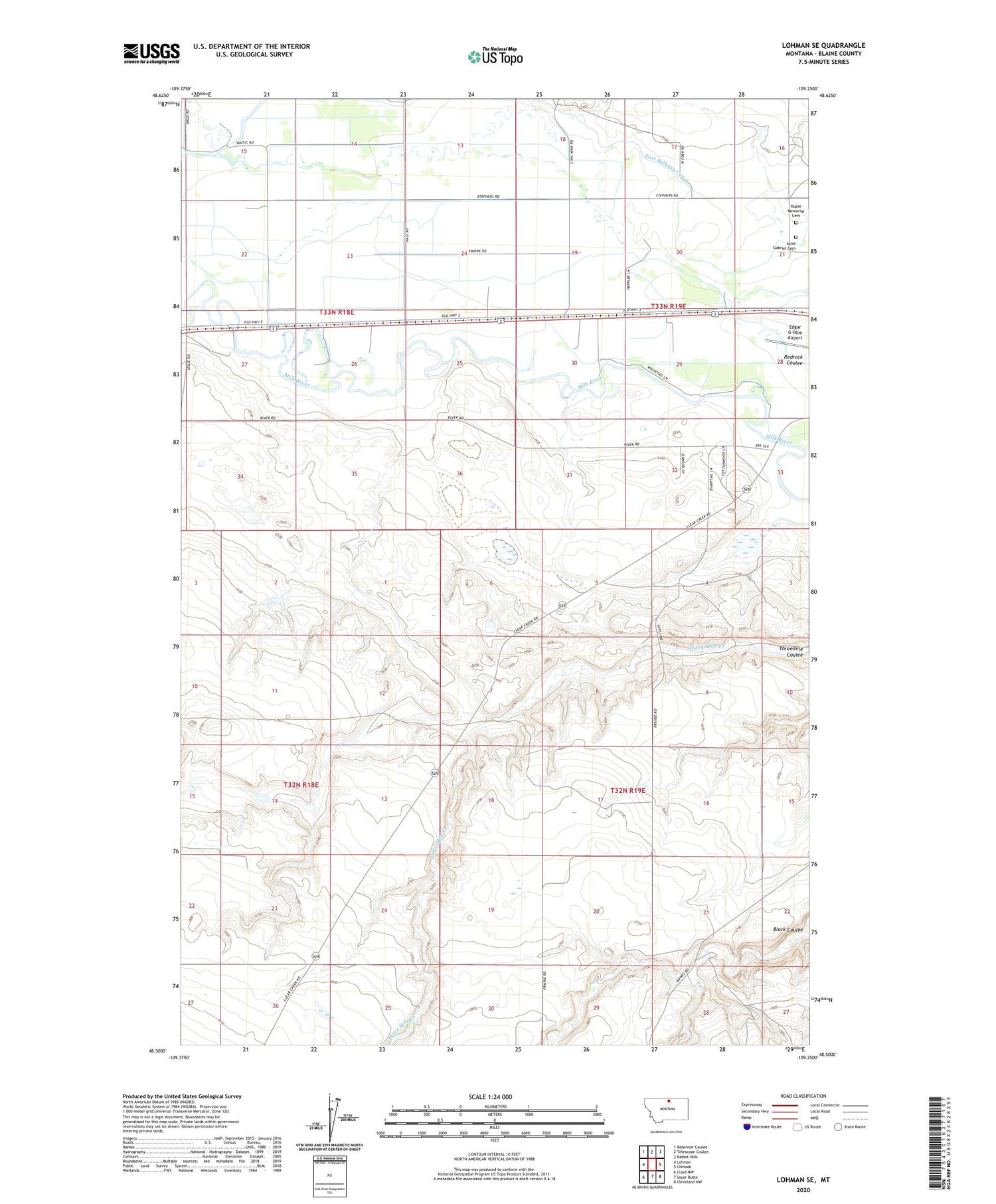
2020 topographic map quadrangle Lohman SE in the state of Montana. Scale: 1:24000. Based on the newly updated USGS 7.5' US Topo map series, this map is in the following counties: Blaine. The map contains contour data, water features, and other items you are used to seeing on USGS maps, but also has updated roads and other features. This is the next generation of topographic maps. Printed on high-quality waterproof paper with UV fade-resistant inks.
Quads adjacent to this one:
West: Lohman
Northwest: Reservoir Coulee
North: Telescope Coulee
Northeast: Rabbit Hills
East: Chinook
Southeast: Cleveland NW
South: Sayer Butte
Southwest: Lloyd NW
Contains the following named places: 33N18E14DAAC01 Well, Adams, Belknap Post Office, Belknap School, Epstlon Dam, Fort Belknap, Kuper Memorial Cemetery, Maddox Ranch Corporation Number 1 Dam, Montana State University - Northern, Saint Gabriel Cemetery, South Yantic School


