MyTopo
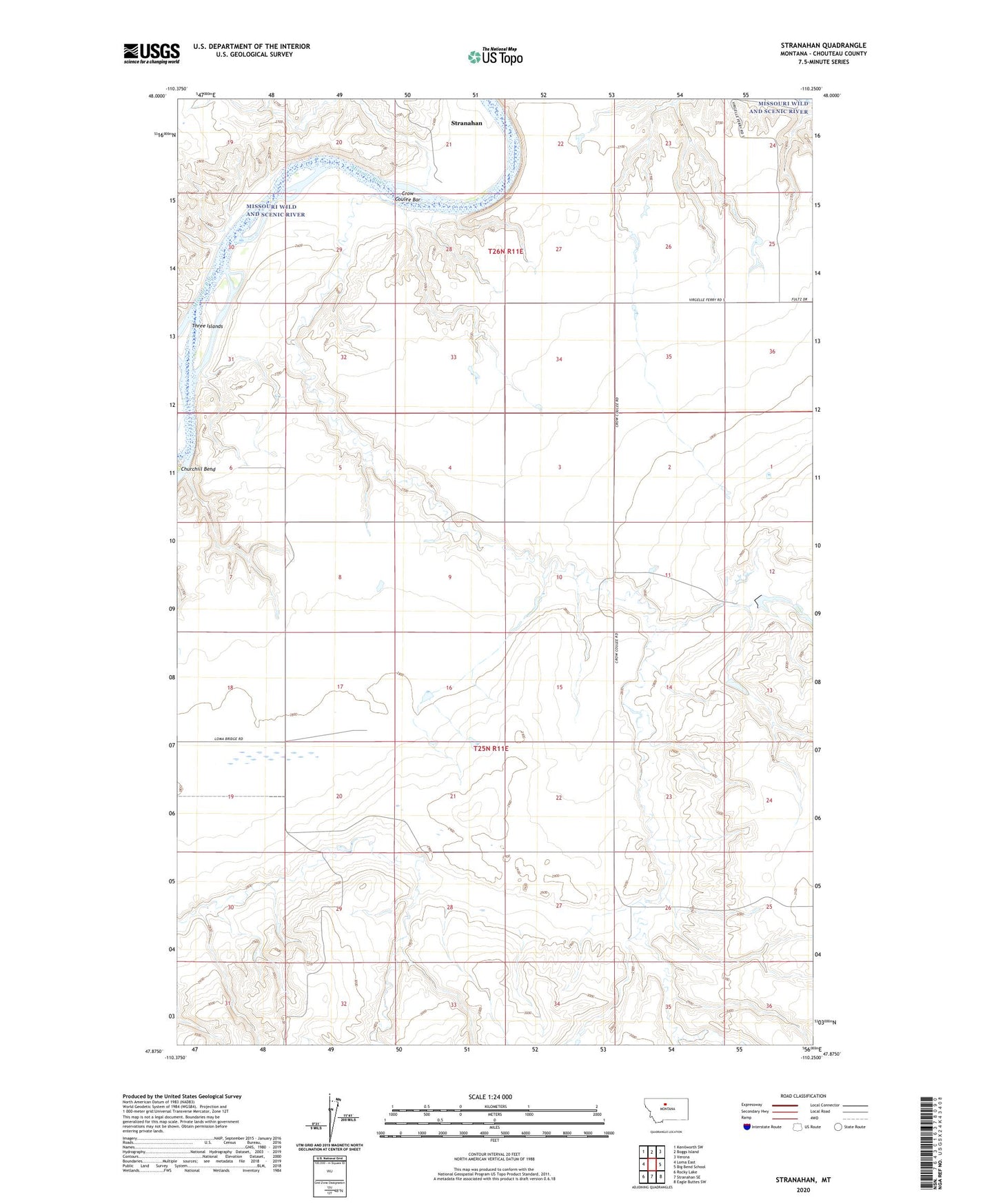
Stranahan Montana US Topo Map
Couldn't load pickup availability
2024 topographic map quadrangle Stranahan in the state of Montana. Scale: 1:24000. Based on the newly updated USGS 7.5' US Topo map series, this map is in the following counties: Chouteau. The map contains contour data, water features, and other items you are used to seeing on USGS maps, but also has updated roads and other features. This is the next generation of topographic maps. Printed on high-quality waterproof paper with UV fade-resistant inks.
Quads adjacent to this one:
West: Loma East
Northwest: Kenilworth SW
North: Boggs Island
Northeast: Verona
East: Big Bend School
Southeast: Eagle Buttes SW
South: Stranahan SE
Southwest: Rocky Lake
This map covers the same area as the classic USGS quad with code o47110h3.
Contains the following named places: Agnes Bob and Noel Dam, Blue Baron Dam, Crow Coulee, Crow Coulee Bar, East Wayside School, Homestead Coulee, Homesteaders Settlement Dam, Stranahan, Stranahan School, Three Islands