MyTopo
Lone Man Coulee West Montana US Topo Map
Couldn't load pickup availability
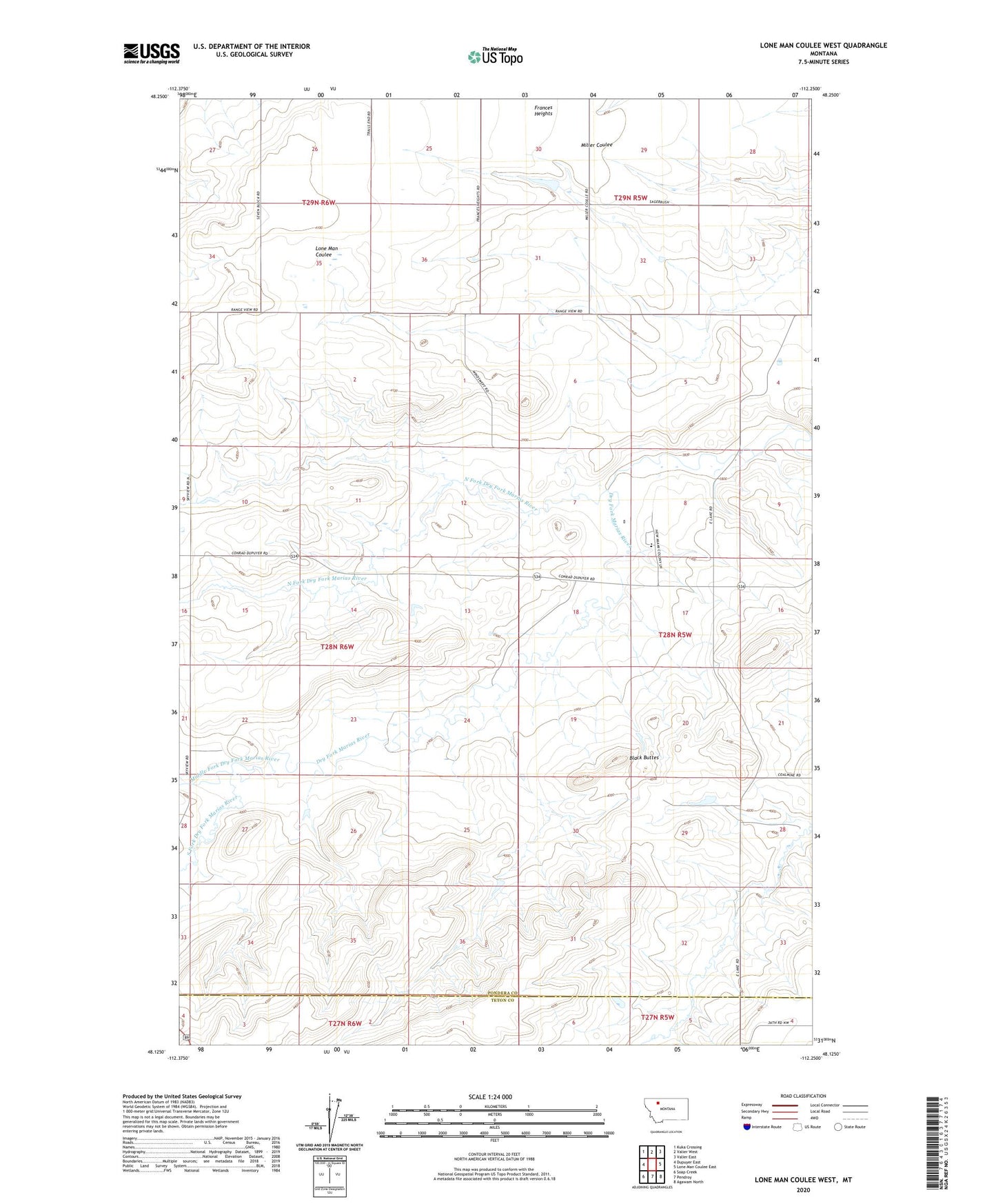
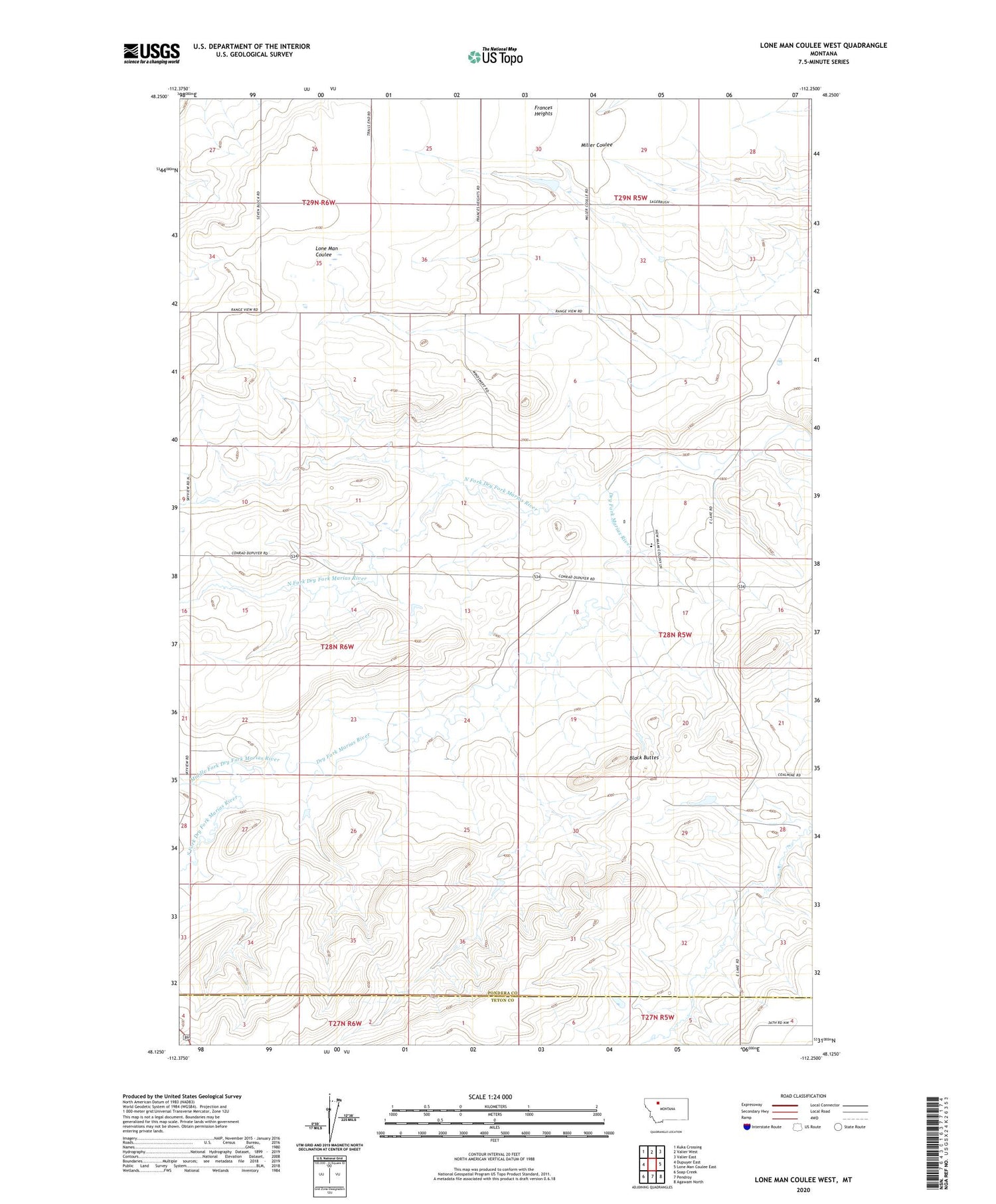
2020 topographic map quadrangle Lone Man Coulee West in the state of Montana. Scale: 1:24000. Based on the newly updated USGS 7.5' US Topo map series, this map is in the following counties: Pondera, Teton. The map contains contour data, water features, and other items you are used to seeing on USGS maps, but also has updated roads and other features. This is the next generation of topographic maps. Printed on high-quality waterproof paper with UV fade-resistant inks.
Quads adjacent to this one:
West: Dupuyer East
Northwest: Kuka Crossing
North: Valier West
Northeast: Valier East
East: Lone Man Coulee East
Southeast: Agawam North
South: Pendroy
Southwest: Soap Creek
Contains the following named places: 28N06W03CBBC01 Well, Armstrong Ranch, Black Buttes, Broten, Frances Heights, Gundlach Post Office, Hall Ranch, Hubbard Mine, Kellogg Mine, Miami Colony School, Middle Fork Dry Fork Marias River, New Miami Colony, New Miami Colony Census Designated Place, North Fork Dry Fork Marias River, Oak Ridge Dam, Oertel Mine, Redbridge School, South Fork Dry Fork Marias River, Widower Dam