MyTopo
Malta East Montana US Topo Map
Couldn't load pickup availability
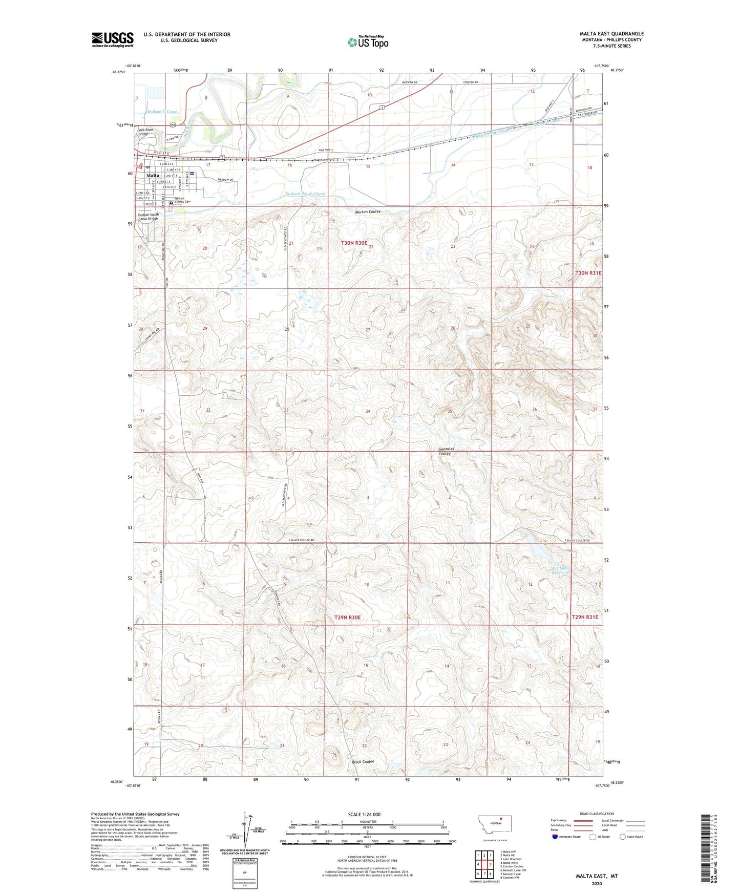
2024 topographic map quadrangle Malta East in the state of Montana. Scale: 1:24000. Based on the newly updated USGS 7.5' US Topo map series, this map is in the following counties: Phillips. The map contains contour data, water features, and other items you are used to seeing on USGS maps, but also has updated roads and other features. This is the next generation of topographic maps. Printed on high-quality waterproof paper with UV fade-resistant inks.
Quads adjacent to this one:
West: Malta West
Northwest: Malta NW
North: Malta NE
Northeast: Lake Bowdoin
East: Clanton Coulee
Southeast: Content NW
South: Bennett Lake
Southwest: Bennett Lake NW
This map covers the same area as the classic USGS quad with code o48107c7.
Contains the following named places: 28N30E03CBAA01 Well, Black Coulee School, Bowdoin Canal, Cattle Brands Historical Marker, City of Malta, Community Church, Dodson South Canal Bridge, Drabbels Dam, Drabbels Reservoir, Equity Co-operative Association Elevator, Gonzales Coulee, Hiline Trailer Park, Hillbilly Dam, Hillcrest Park, KMMR-FM (Malta), Legg Addition Park, Malta, Malta City Park Rest Area, Malta Elementary School, Malta High School, Malta Junior High School, Malta Post Office, Malta Stock Yards, Milk River Bridge, Morton Coulee, Murray Trailer Park, Olive Lutheran Church, Olson Number 2 Dam, Phillips County Ambulance, Phillips County Cemetery, Phillips County Family Health Clinic, Phillips County Good Samaritan Retirement Center, Phillips County Hospital, Phillips County Public Library, Phillips County Volunteer Fire Company Malta Station, PR-36 Dam, R and G Quality Feeds Incorporated Elevator, Riverside Trailer Court, Saint Marys Episcopal Church, Southwick School, The Church of Jesus Christ of Latter Day Saints, Trafton Park, Trafton Park Campground, Ugland School


