MyTopo
Malta West Montana US Topo Map
Couldn't load pickup availability
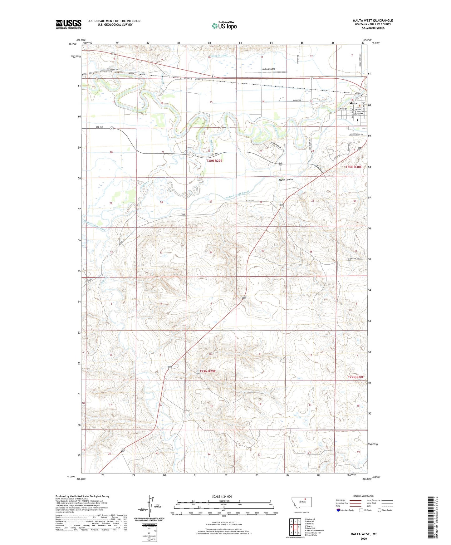
2020 topographic map quadrangle Malta West in the state of Montana. Scale: 1:24000. Based on the newly updated USGS 7.5' US Topo map series, this map is in the following counties: Phillips. The map contains contour data, water features, and other items you are used to seeing on USGS maps, but also has updated roads and other features. This is the next generation of topographic maps. Printed on high-quality waterproof paper with UV fade-resistant inks.
Quads adjacent to this one:
West: Wagner
Northwest: Dodson NE
North: Malta NW
Northeast: Malta NE
East: Malta East
Southeast: Bennett Lake
South: Bennett Lake NW
Southwest: West Alkali Reservoir
Contains the following named places: 29N29E14ADBB01 Well, 29N30E18BBDC01 Well, Alkali Creek, Assembly of God Church, Early Day Outlaws Historical Marker, Edgewater Campground, Elim Lutheran Church, Exeter, Exeter Creek, Lafond School, Little Rocky Mountains Historical Marker, Little White Church, Malta Airport, Malta Ambulance, Malta Division, Malta Lutheran Church, Marion Hills Country Club, Onwatt Dam, Phillips County, Phillips County Courthouse, Phillips County Museum, Phillips County Sheriff's Department, Riverview Park, Saint Mary School, Saint Marys Catholic Church, Taylor Coulee, United States Border Patrol Malta Station