MyTopo
McClure Creek Montana US Topo Map
Couldn't load pickup availability
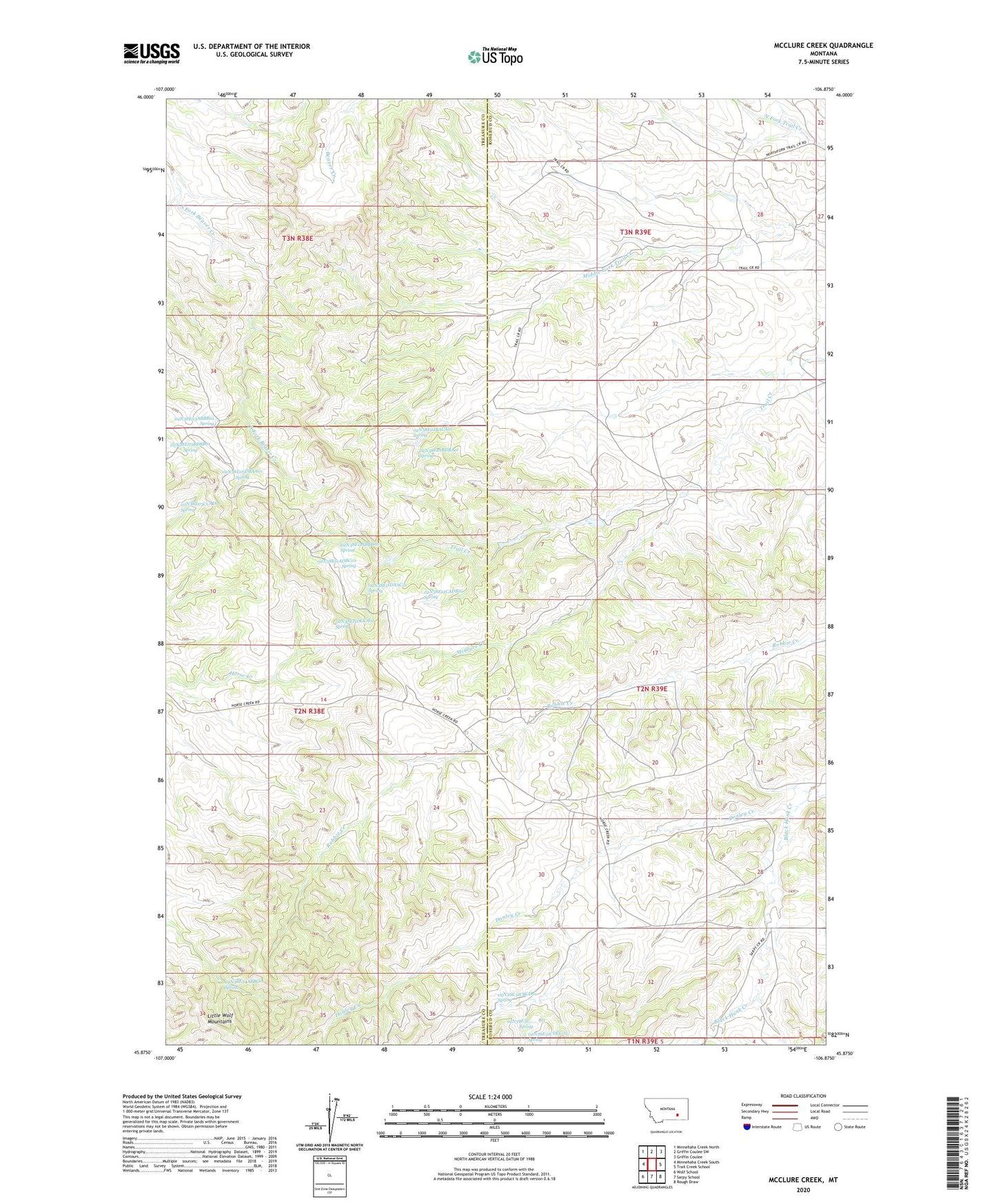
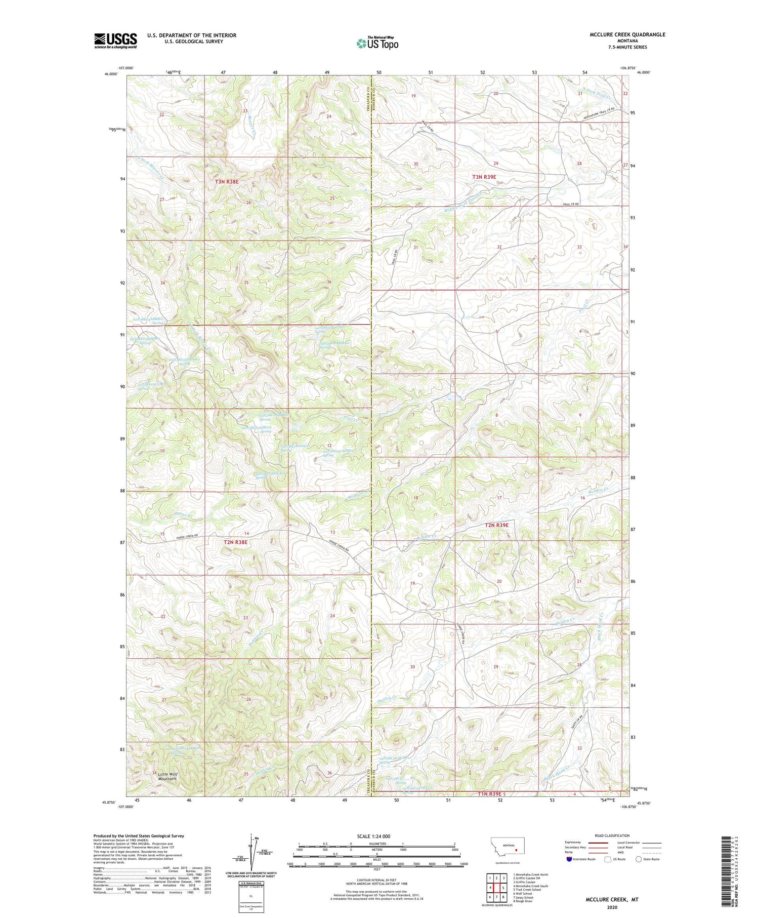
2020 topographic map quadrangle McClure Creek in the state of Montana. Scale: 1:24000. Based on the newly updated USGS 7.5' US Topo map series, this map is in the following counties: Rosebud, Treasure. The map contains contour data, water features, and other items you are used to seeing on USGS maps, but also has updated roads and other features. This is the next generation of topographic maps. Printed on high-quality waterproof paper with UV fade-resistant inks.
Quads adjacent to this one:
West: Minnehaha Creek South
Northwest: Minnehaha Creek North
North: Griffin Coulee SW
Northeast: Griffin Coulee
East: Trail Creek School
Southeast: Rough Draw
South: Sarpy School
Southwest: Wolf School
Contains the following named places: 01N38E22CADD01 Well, 02N38E01BACA01 Spring, 02N38E01BDBA01 Spring, 02N38E03ABBB01 Spring, 02N38E03BDBB01 Spring, 02N38E03CCAD01 Spring, 02N38E03DBAA01 Spring, 02N38E11ABBD01 Spring, 02N38E11ADBC01 Spring, 02N38E11DAAC01 Spring, 02N38E11DCCA01 Spring, 02N38E12CADB01 Spring, 02N38E15ADDA01 Well, 02N38E22BBAB01 Well, 02N38E24BCBA01 Well, 02N38E25CDDD01 Well, 02N38E26AAAB01 Well, 02N38E26AABA01 Well, 02N38E34ABBC01 Spring, 02N39E01BBCA01 Well, 02N39E05BCBD01 Well, 02N39E05DDDC01 Well, 02N39E06B___01 Well, 02N39E16ACDD01 Well, 02N39E17DCAA01 Well, 02N39E19CACB01 Well, 02N39E20DBCB01 Well, 02N39E27CCCC01 Well, 02N39E29BCCC01 Well, 02N39E31____01 Spring, 02N39E31ACDC01 Well, 02N39E31CBCD01 Spring, 02N39E31CDBA01 Well, 02N39E31CDCC01 Spring, 02N39E32DDDD01 Well, 02N42E05CABB01 Well, 03N38E22AACC01 Well, 03N38E25ADCB01 Well, 03N38E25CDDB01 Well, 03N38E26CBBB01 Well, Black Hank Creek, Black Hank School, Farleys Number 1 Dam, McClure Creek