MyTopo
Griffin Coulee SW Montana US Topo Map
Couldn't load pickup availability
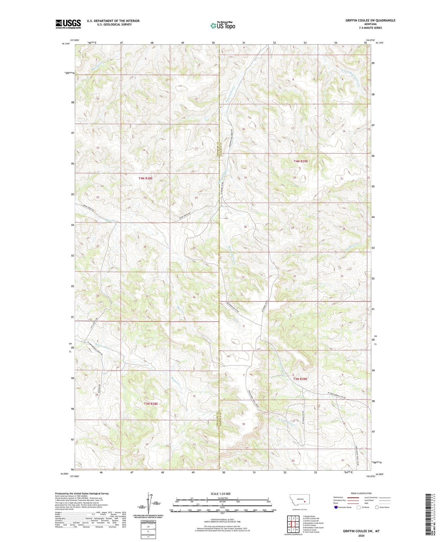
2024 topographic map quadrangle Griffin Coulee SW in the state of Montana. Scale: 1:24000. Based on the newly updated USGS 7.5' US Topo map series, this map is in the following counties: Rosebud, Treasure. The map contains contour data, water features, and other items you are used to seeing on USGS maps, but also has updated roads and other features. This is the next generation of topographic maps. Printed on high-quality waterproof paper with UV fade-resistant inks.
Quads adjacent to this one:
West: Minnehaha Creek North
Northwest: Woods Water
North: Griffin Coulee NW
Northeast: Griffin Coulee NE
East: Griffin Coulee
Southeast: Trail Creek School
South: McClure Creek
Southwest: Minnehaha Creek South
This map covers the same area as the classic USGS quad with code o46106a8.
Contains the following named places: 03N38E10ABDB01 Well, 04N38E26AADA01 Well, 04N38E26ABDC01 Well, 04N39E30DCAD01 Well, Bear Creek School