MyTopo
Melstone Montana US Topo Map
Couldn't load pickup availability
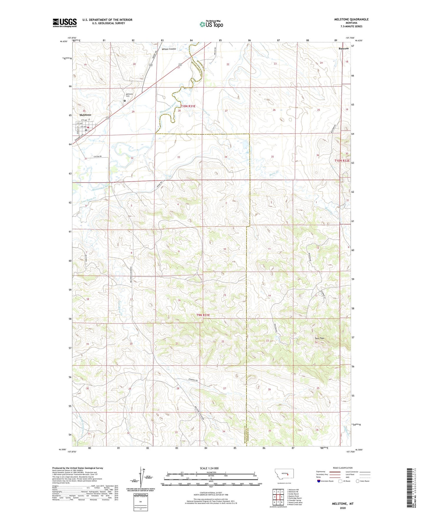
2020 topographic map quadrangle Melstone in the state of Montana. Scale: 1:24000. Based on the newly updated USGS 7.5' US Topo map series, this map is in the following counties: Musselshell, Rosebud. The map contains contour data, water features, and other items you are used to seeing on USGS maps, but also has updated roads and other features. This is the next generation of topographic maps. Printed on high-quality waterproof paper with UV fade-resistant inks.
Quads adjacent to this one:
West: Queens Point
Northwest: Melstone NW
North: Melstone NE
Northeast: Grebe Ranch
East: Guthridge Ranch
Southeast: Weed Creek East
South: Weed Creek West
Southwest: Chandler Spring
Contains the following named places: 09N31E18ACAD01 Well, 09N31E18BADD01 Well, 09N31E18BDBD01 Well, 09N31E29DBBB01 Well, Horse Creek, Horse Creek School, Jennaway Number 1 Dam, Lost Horse Creek, Melstone, Melstone Cemetery, Melstone Post Office, Melstone Public School, Melstone Volunteer Fire Department and Quick Response Unit, Town of Melstone, Twin Tops, Wilson Coulee