
MyTopo
Middle Eighth Coulee Montana US Topo Map
Couldn't load pickup availability
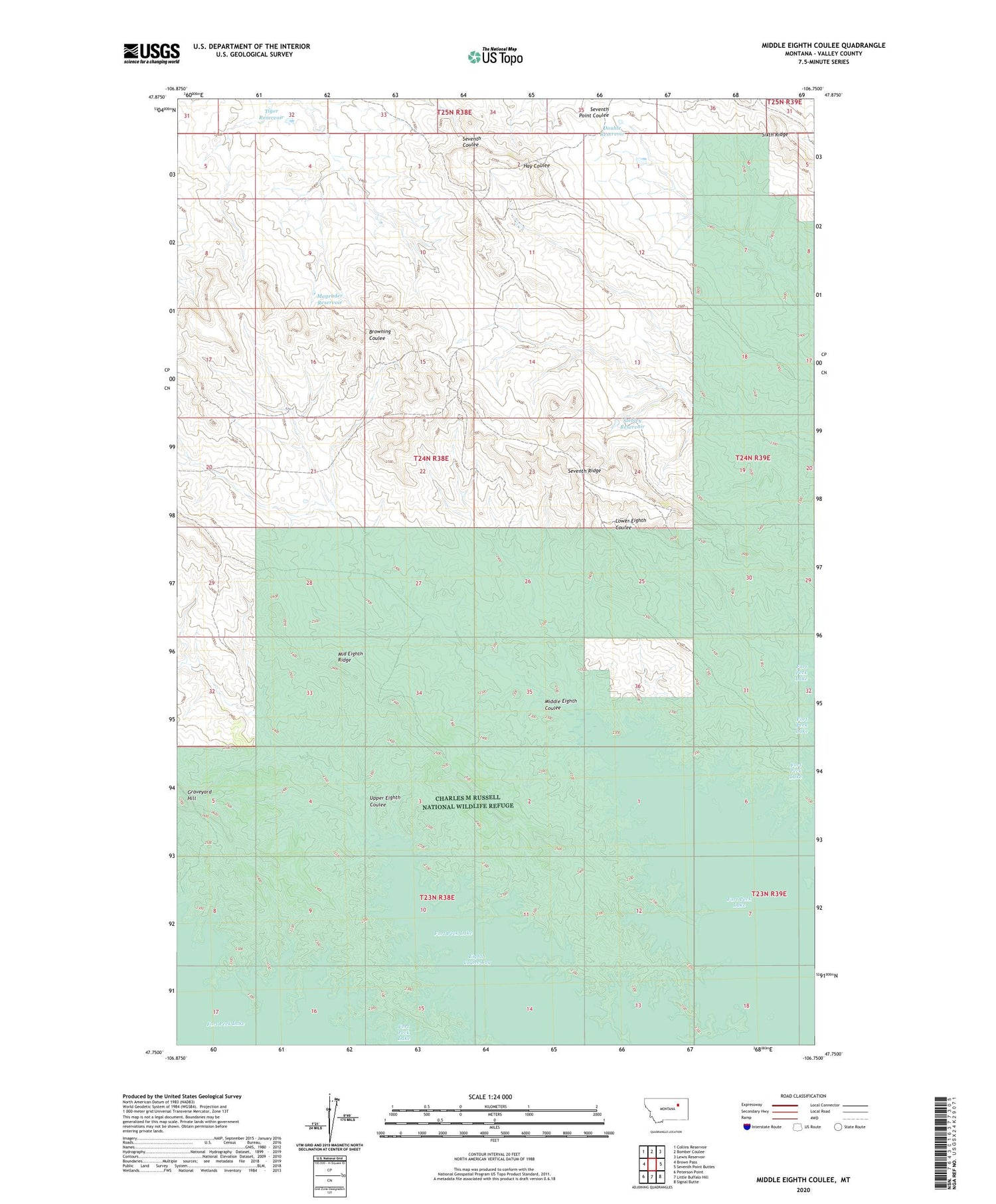
2020 topographic map quadrangle Middle Eighth Coulee in the state of Montana. Scale: 1:24000. Based on the newly updated USGS 7.5' US Topo map series, this map is in the following counties: Valley. The map contains contour data, water features, and other items you are used to seeing on USGS maps, but also has updated roads and other features. This is the next generation of topographic maps. Printed on high-quality waterproof paper with UV fade-resistant inks.
Quads adjacent to this one:
West: Brown Pass
Northwest: Collins Reservoir
North: Bomber Coulee
Northeast: Lewis Reservoir
East: Seventh Point Buttes
Southeast: Signal Butte
South: Little Buffalo Hill
Southwest: Peterson Point
Contains the following named places: Browning Ranch, Double Reservoir, Eighth Coulee Bay, Fort Peck Lake, Graveyard Hill, Magruder Reservoir, Middle Eighth Coulee, Middle Eighth Ridge, Seventh Ridge, Stebley Ranch, Stebley Reservoir, Tiger Reservoir, Upper Eighth Coulee


