MyTopo
Mildred Montana US Topo Map
Couldn't load pickup availability
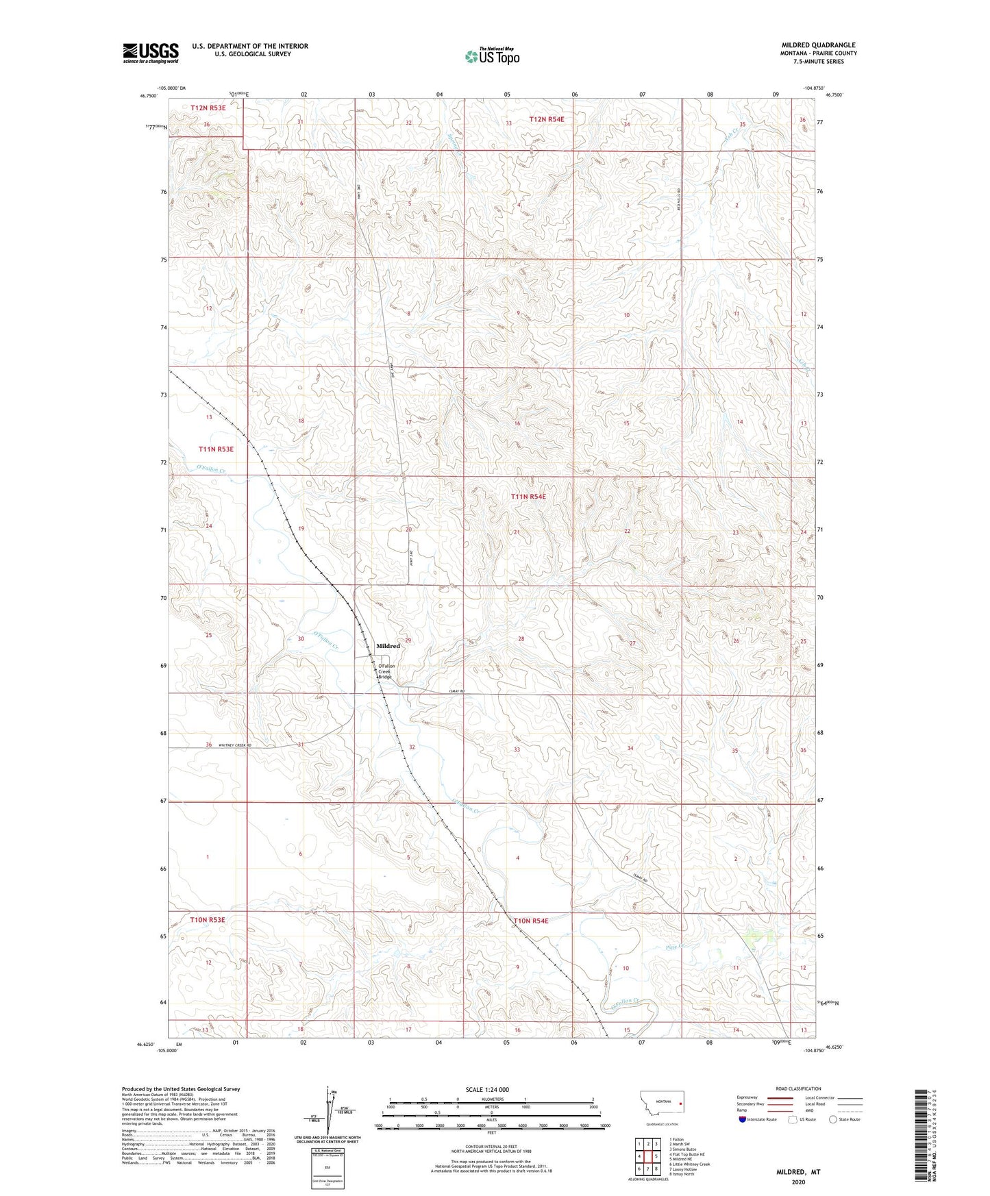
2024 topographic map quadrangle Mildred in the state of Montana. Scale: 1:24000. Based on the newly updated USGS 7.5' US Topo map series, this map is in the following counties: Prairie. The map contains contour data, water features, and other items you are used to seeing on USGS maps, but also has updated roads and other features. This is the next generation of topographic maps. Printed on high-quality waterproof paper with UV fade-resistant inks.
Quads adjacent to this one:
West: Flat Top Butte NE
Northwest: Fallon
North: Marsh SW
Northeast: Simons Butte
East: Mildred NE
Southeast: Ismay North
South: Loony Hollow
Southwest: Little Whitney Creek
This map covers the same area as the classic USGS quad with code o46104f8.
Contains the following named places: 10N53E13AA__01 Well, 10N54E04DC__01 Well, 10N54E04DDDD01 Well, 10N54E11CBBD01 Well, 11N54E02BCAA01 Well, 11N54E19CCBA01 Well, 11N54E28CC__01 Well, 11N54E28CCAC01 Well, 11N54E29AC__01 Well, 11N54E29CA__01 Well, 11N54E29CACB01 Well, 11N54E29CACD01 Well, 11N54E29CBCD01 Well, 11N54E29CBDC01 Well, 11N54E30DD__01 Well, 11N54E30DDA_01 Well, 11N54E30DDAD01 Well, 11N54E32ABCB01 Well, 11N54E33BBBD01 Well, 11N54E35DCDC01 Well, Bagley Elevator, Columbia Elevator, Frieda Jones School, Marshall Dam, Meyers School, Mildred, Mildred Community Church, Mildred Post Office, Mildred School, O'Fallon Creek Bridge, Pine Creek, Saint John the Baptist Church