MyTopo
Milligan Canyon Montana US Topo Map
Couldn't load pickup availability
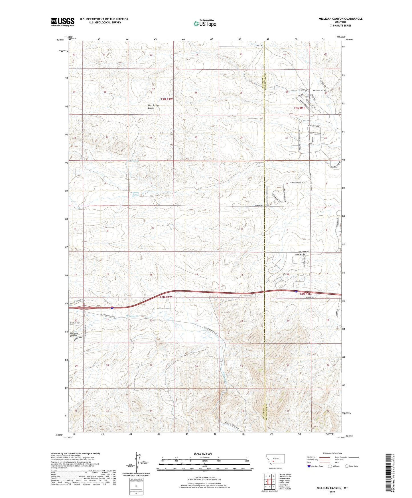
2024 topographic map quadrangle Milligan Canyon in the state of Montana. Scale: 1:24000. Based on the newly updated USGS 7.5' US Topo map series, this map is in the following counties: Jefferson, Broadwater. The map contains contour data, water features, and other items you are used to seeing on USGS maps, but also has updated roads and other features. This is the next generation of topographic maps. Printed on high-quality waterproof paper with UV fade-resistant inks.
Quads adjacent to this one:
West: Negro Hollow
Northwest: Willow Springs
North: Radersburg SW
Northeast: Plunket Lake
East: Three Forks
Southeast: Three Forks SE
South: Willow Creek
Southwest: Sappington
This map covers the same area as the classic USGS quad with code o45111h6.
Contains the following named places: 02N01W22ADDD01 Well, 02N01W22DABA01 Well, Cowan Spring, Shoddy Springs, Silver Sage Ranch