MyTopo
Mortarstone Bluff Montana US Topo Map
Couldn't load pickup availability
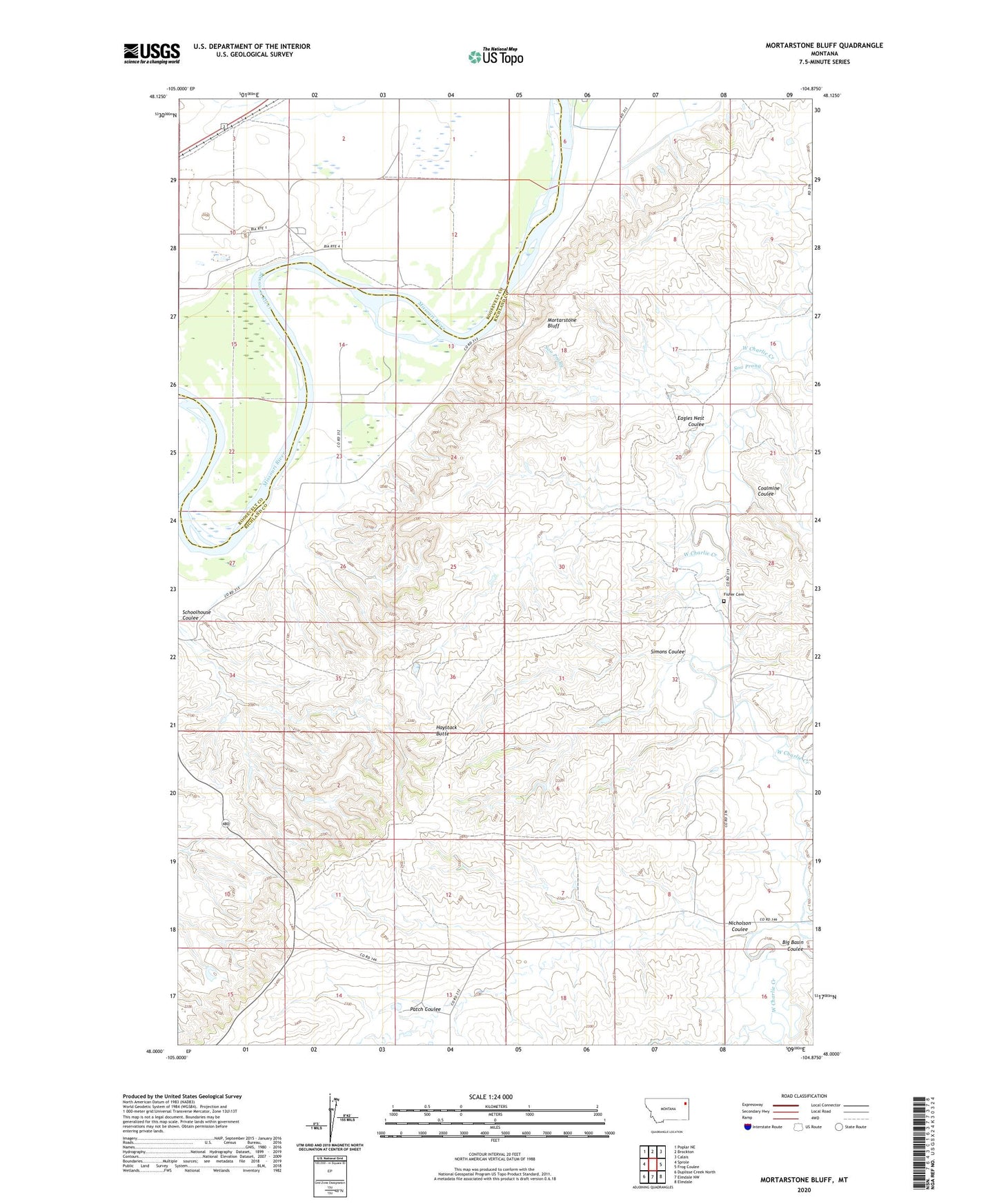
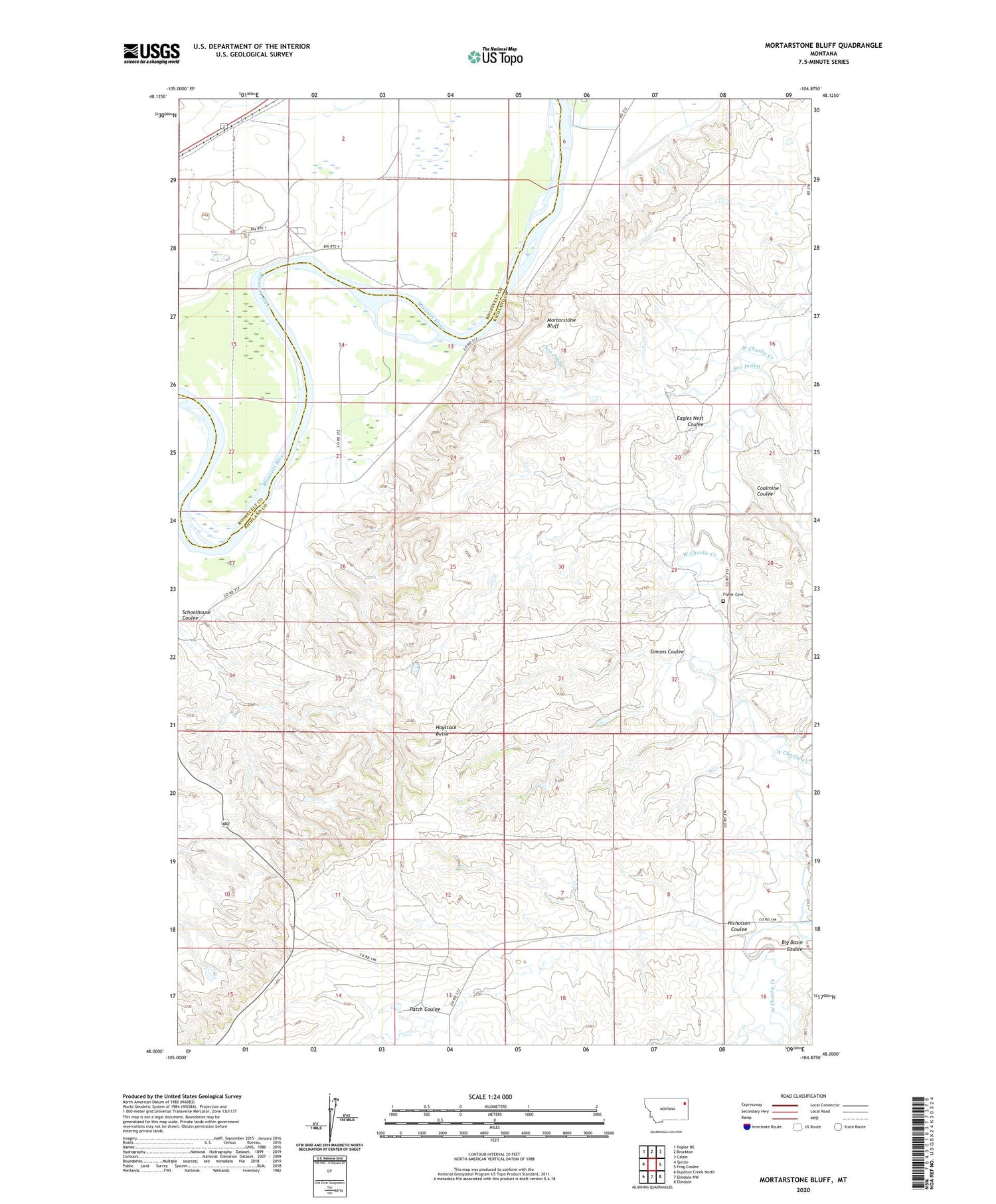
2020 topographic map quadrangle Mortarstone Bluff in the state of Montana. Scale: 1:24000. Based on the newly updated USGS 7.5' US Topo map series, this map is in the following counties: Richland, Roosevelt. The map contains contour data, water features, and other items you are used to seeing on USGS maps, but also has updated roads and other features. This is the next generation of topographic maps. Printed on high-quality waterproof paper with UV fade-resistant inks.
Quads adjacent to this one:
West: Sprole
Northwest: Poplar NE
North: Brockton
Northeast: Calais
East: Frog Coulee
Southeast: Elmdale
South: Elmdale NW
Southwest: Duplisse Creek North
Contains the following named places: 26N53E07DACC01 Well, 27N52E02CA__01 Well, 27N52E02DA__01 Well, 27N52E02DD__01 Well, 27N52E10BC__01 Well, 27N52E10CC__01 Well, 27N52E10DA__01 Well, 27N52E10DC__01 Well, 27N52E11BA__01 Well, 27N52E11BC__01 Well, 27N52E11BD__01 Well, 27N52E11CA__01 Well, 27N52E15BB__01 Well, 27N53E07AA__01 Well, 27N53E20CCDC01 Well, Atkinson, Big Basin Coulee, Coalmine Coulee, Eagles Nest Coulee, Fisher Cemetery, Haystack Butte, Mortarstone Bluff, Nicholson Coulee, Patch Coulee, Riverside Church, Riverside School, Schoolhouse Coulee, Simons Coulee, Soo Prong