MyTopo
Mosquito Springs Montana US Topo Map
Couldn't load pickup availability
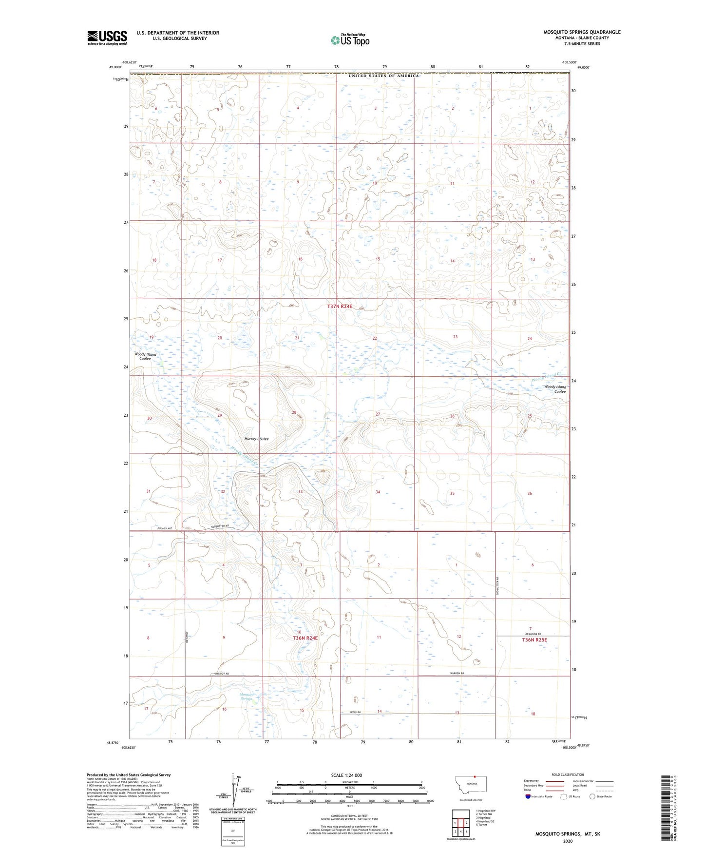
2024 topographic map quadrangle Mosquito Springs in the state of Montana. Scale: 1:24000. Based on the newly updated USGS 7.5' US Topo map series, this map is in the following counties: Blaine. The map contains contour data, water features, and other items you are used to seeing on USGS maps, but also has updated roads and other features. This is the next generation of topographic maps. Printed on high-quality waterproof paper with UV fade-resistant inks.
Quads adjacent to this one:
West: Hogeland NW
East: Turner NW
Southeast: Turner
South: Hogeland SE
Southwest: Hogeland
This map covers the same area as the classic USGS quad with code o48108h5.
Contains the following named places: 36N25E06CBCB01 Well, Glenview School, Mosquito Springs, Murray Coulee