MyTopo
Murray Hill Montana US Topo Map
Couldn't load pickup availability
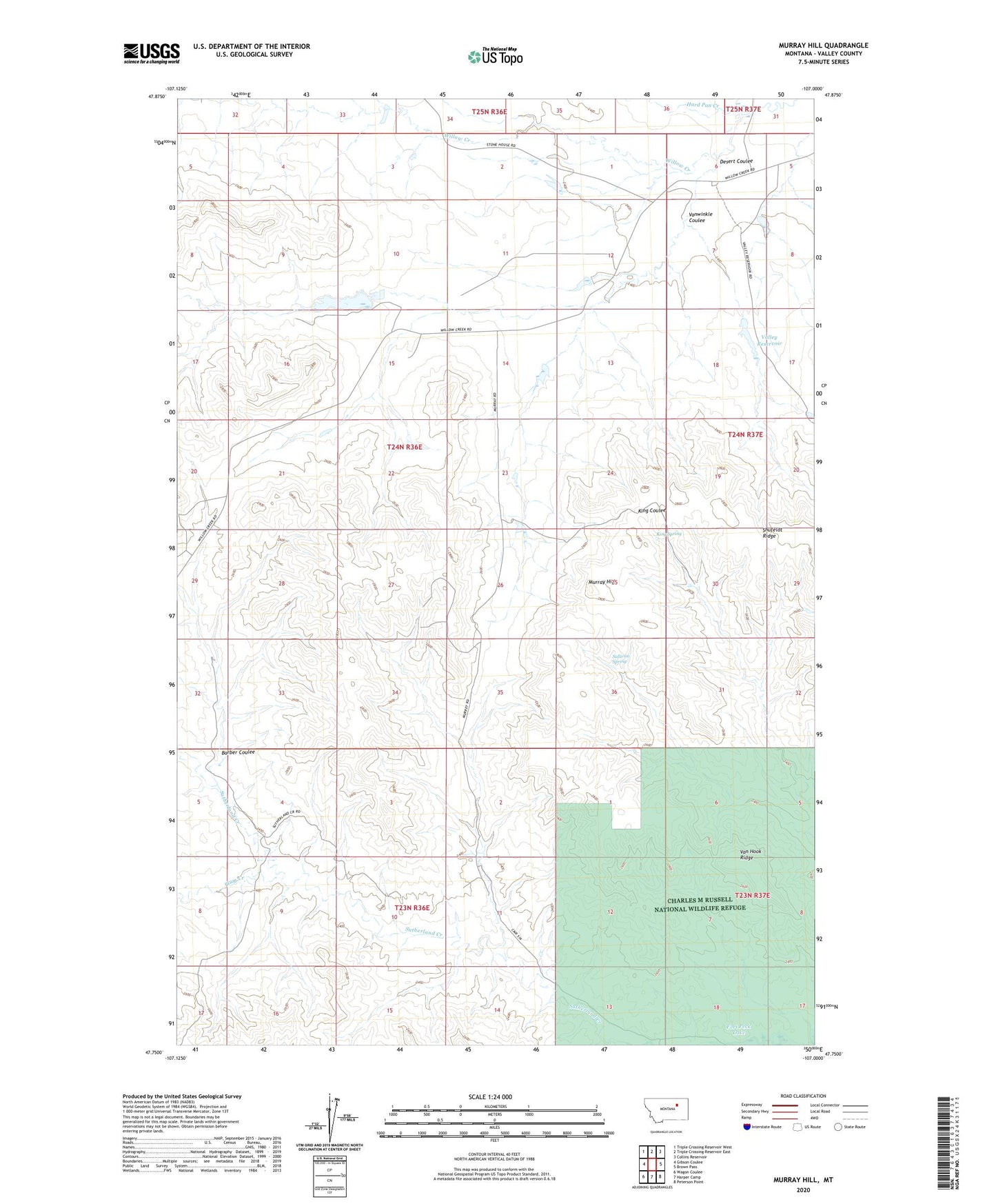
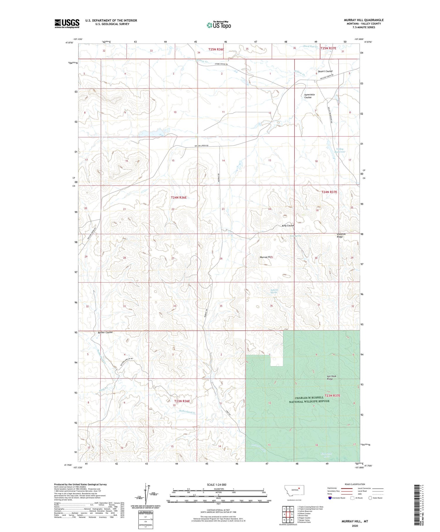
2020 topographic map quadrangle Murray Hill in the state of Montana. Scale: 1:24000. Based on the newly updated USGS 7.5' US Topo map series, this map is in the following counties: Valley. The map contains contour data, water features, and other items you are used to seeing on USGS maps, but also has updated roads and other features. This is the next generation of topographic maps. Printed on high-quality waterproof paper with UV fade-resistant inks.
Quads adjacent to this one:
West: Gibson Coulee
Northwest: Triple Crossing Reservoir West
North: Triple Crossing Reservoir East
Northeast: Collins Reservoir
East: Brown Pass
Southeast: Peterson Point
South: Harper Camp
Southwest: Wagon Coulee
Contains the following named places: 23N36E04CDBA01 Well, Barber Coulee, Desert Coulee, Desert Dam, Handley Ranch, Hard Pan Creek, King Spring, Mud Pot Dam, Murray Hill, Murray Place, Plum Creek, Sullivan Spring, Valley Reservoir, Valley Reservoir Dam, Van Hook Ridge, Vanwinkle Coulee, Willow Creek School, Wittmayer Dam