MyTopo
Triple Crossing Reservoir East Montana US Topo Map
Couldn't load pickup availability
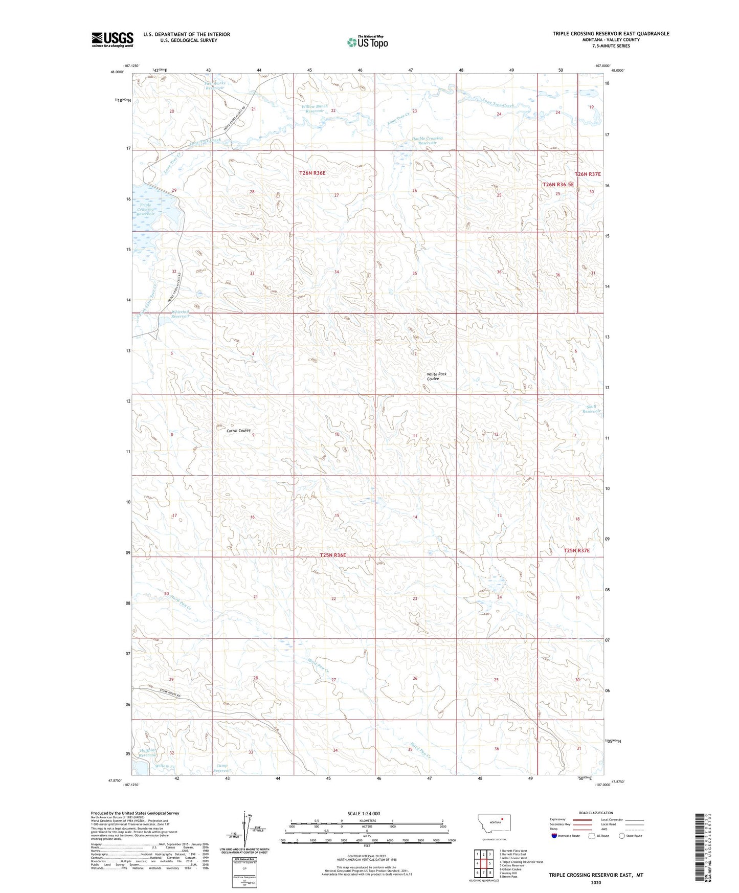
2024 topographic map quadrangle Triple Crossing Reservoir East in the state of Montana. Scale: 1:24000. Based on the newly updated USGS 7.5' US Topo map series, this map is in the following counties: Valley. The map contains contour data, water features, and other items you are used to seeing on USGS maps, but also has updated roads and other features. This is the next generation of topographic maps. Printed on high-quality waterproof paper with UV fade-resistant inks.
Quads adjacent to this one:
West: Triple Crossing Reservoir West
Northwest: Burnett Flats West
North: Burnett Flats East
Northeast: Miller Coulee West
East: Collins Reservoir
Southeast: Brown Pass
South: Murray Hill
Southwest: Gibson Coulee
Contains the following named places: Bat Reservoir Dam, Camp Dam, Camp Reservoir, Corral Junction Dam, Corral Junction Extension Dam, Dividend Dam, Double Crossing Dam, Double Crossing Reservoir, Goodwall Reservoir Dam, Gravel Hill Dam, Halfpint Reservoir, Halfpint Reservoir Dam, Hard Pan Dam, Middle Fork Lone Tree Creek, North Fork Plug Dam, South Fork Lone Tree Creek, Teal Reservoir Dam, Triple Crossing Dam, Triple Crossing Water Spreaders Dam, Twin Forks Dam, Twin Forks Reservoir, Whitetail Reservoir, Whitetail Reservoir Dam, Willow Bunch Reservoir