MyTopo
Musselshell Montana US Topo Map
Couldn't load pickup availability
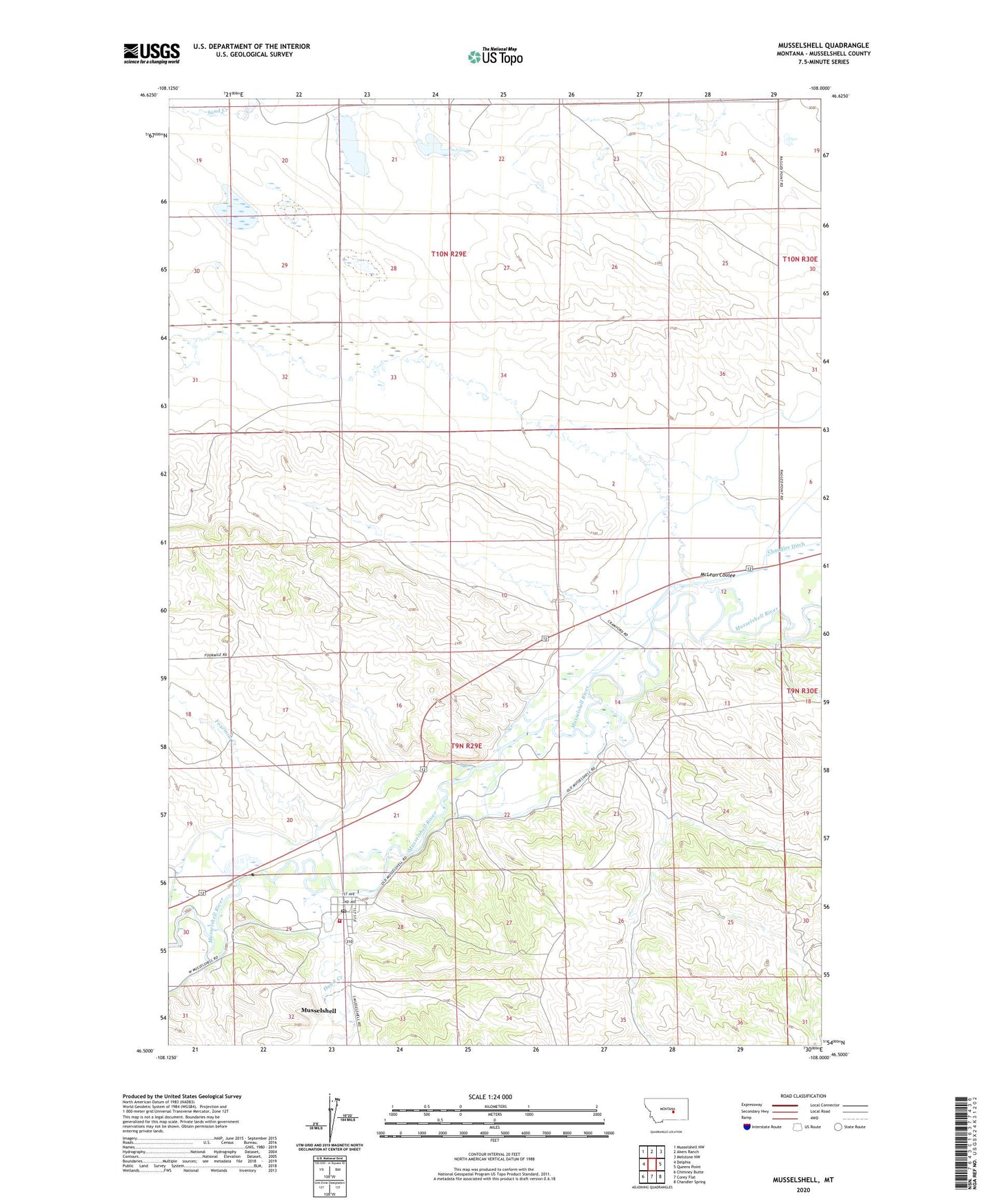
2024 topographic map quadrangle Musselshell in the state of Montana. Scale: 1:24000. Based on the newly updated USGS 7.5' US Topo map series, this map is in the following counties: Musselshell. The map contains contour data, water features, and other items you are used to seeing on USGS maps, but also has updated roads and other features. This is the next generation of topographic maps. Printed on high-quality waterproof paper with UV fade-resistant inks.
Quads adjacent to this one:
West: Delphia
Northwest: Musselshell NW
North: Akers Ranch
Northeast: Melstone NW
East: Queens Point
Southeast: Chandler Spring
South: Corey Flat
Southwest: Chimney Butte
This map covers the same area as the classic USGS quad with code o46108e1.
Contains the following named places: 09N29E20BDDA01 Well, 09N29E23ACBC01 Well, 09N29E28BCCD01 Well, 09N29E28BCCD02 Well, 09N29E29A___01 Well, Cooley Goffena Ditch, Fourmile Creek, Hawk Creek, Hawk Creek Volunteer Fire Department, Hougan Number 6 Dam, Hougan Number 7 Dam, McLean Coulee, Melstone Oil Field, Musselshell, Musselshell Census Designated Place, Musselshell Ditch County Canal, Musselshell Elementary School, Musselshell Post Office, Walker Number 1 Dam