MyTopo
O'Juel Lake Montana US Topo Map
Couldn't load pickup availability
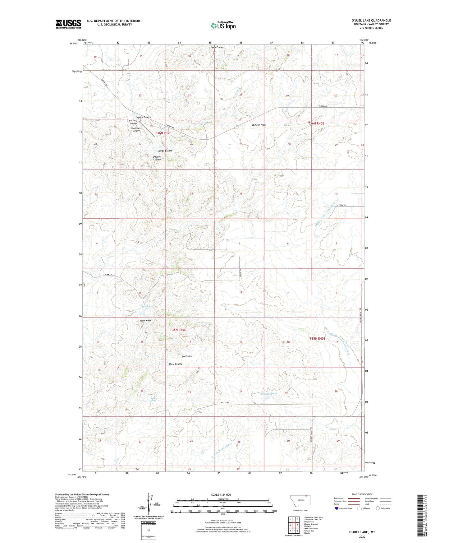
2024 topographic map quadrangle O'Juel Lake in the state of Montana. Scale: 1:24000. Based on the newly updated USGS 7.5' US Topo map series, this map is in the following counties: Valley. The map contains contour data, water features, and other items you are used to seeing on USGS maps, but also has updated roads and other features. This is the next generation of topographic maps. Printed on high-quality waterproof paper with UV fade-resistant inks.
Quads adjacent to this one:
West: Dodge Reservoir
Northwest: Coal Mine Creek West
North: Coal Mine Creek East
Northeast: Roanwood
East: Opheim
Southeast: Baylor
South: Wards Dam
Southwest: Kerr Cow Camp
This map covers the same area as the classic USGS quad with code o48106g5.
Contains the following named places: 36N39E26AAB_01 Well, 36N39E26BDB_01 Well, Combs Coulee, Coyote Coulee, Dahl Hills, Dashers Spring, Deep Coulee, Floyd Ranch Airport, Furlong Coulee, Georges Pond, O'Juel Lake, Paudois Coulee, Pikes Peak, Tango Post Office, Tango School