MyTopo
P K Ranch NE Montana US Topo Map
Couldn't load pickup availability
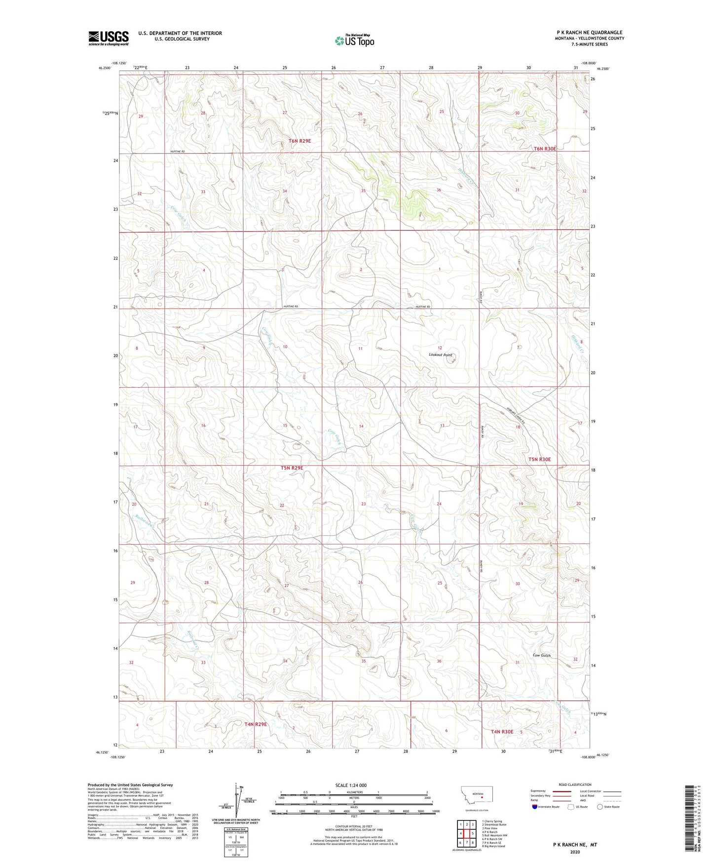
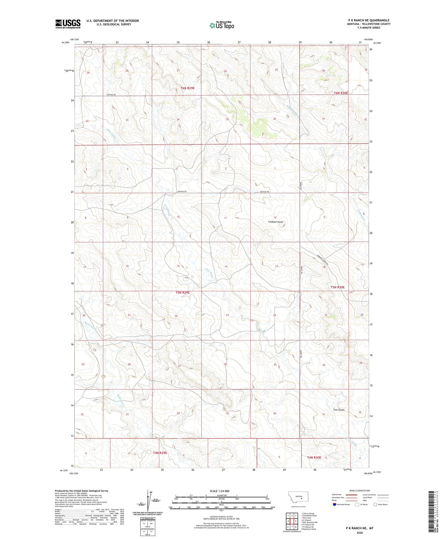
2020 topographic map quadrangle P K Ranch NE in the state of Montana. Scale: 1:24000. Based on the newly updated USGS 7.5' US Topo map series, this map is in the following counties: Yellowstone. The map contains contour data, water features, and other items you are used to seeing on USGS maps, but also has updated roads and other features. This is the next generation of topographic maps. Printed on high-quality waterproof paper with UV fade-resistant inks.
Quads adjacent to this one:
West: P K Ranch
Northwest: Cherry Spring
North: Steamboat Butte
Northeast: Pine View
East: Bull Mountain NW
Southeast: Big Marys Island
South: P K Ranch SE
Southwest: P K Ranch SW
Contains the following named places: 05N29E04C___01 Well, 05N29E09BCDC01 Well, 05N29E14ADDD01 Well, 05N29E15BDCC01 Well, 05N29E15DDDA01 Well, 05N29E17CDAD01 Well, 05N29E20BDAD01 Well, 05N29E22AABA01 Well, 05N29E24DBCB01 Well, 05N29E33ACAB01 Well, 05N29E35BDCD01 Well, 05N30E08CBAD01 Well, 05N30E31BACC01 Well, 05N30E31CCBC01 Well, 06N30E31DACC01 Well, Cow Gulch, Lookout Point