MyTopo
Pentecost Reservoir Montana US Topo Map
Couldn't load pickup availability
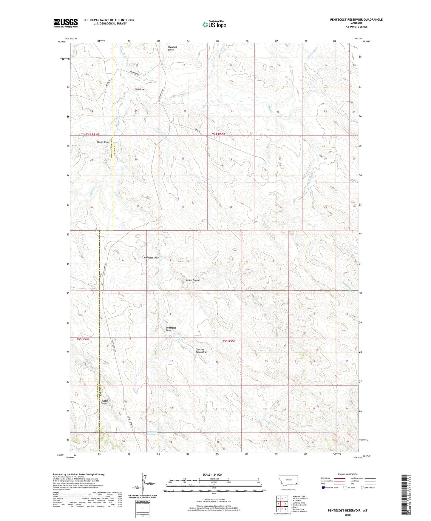
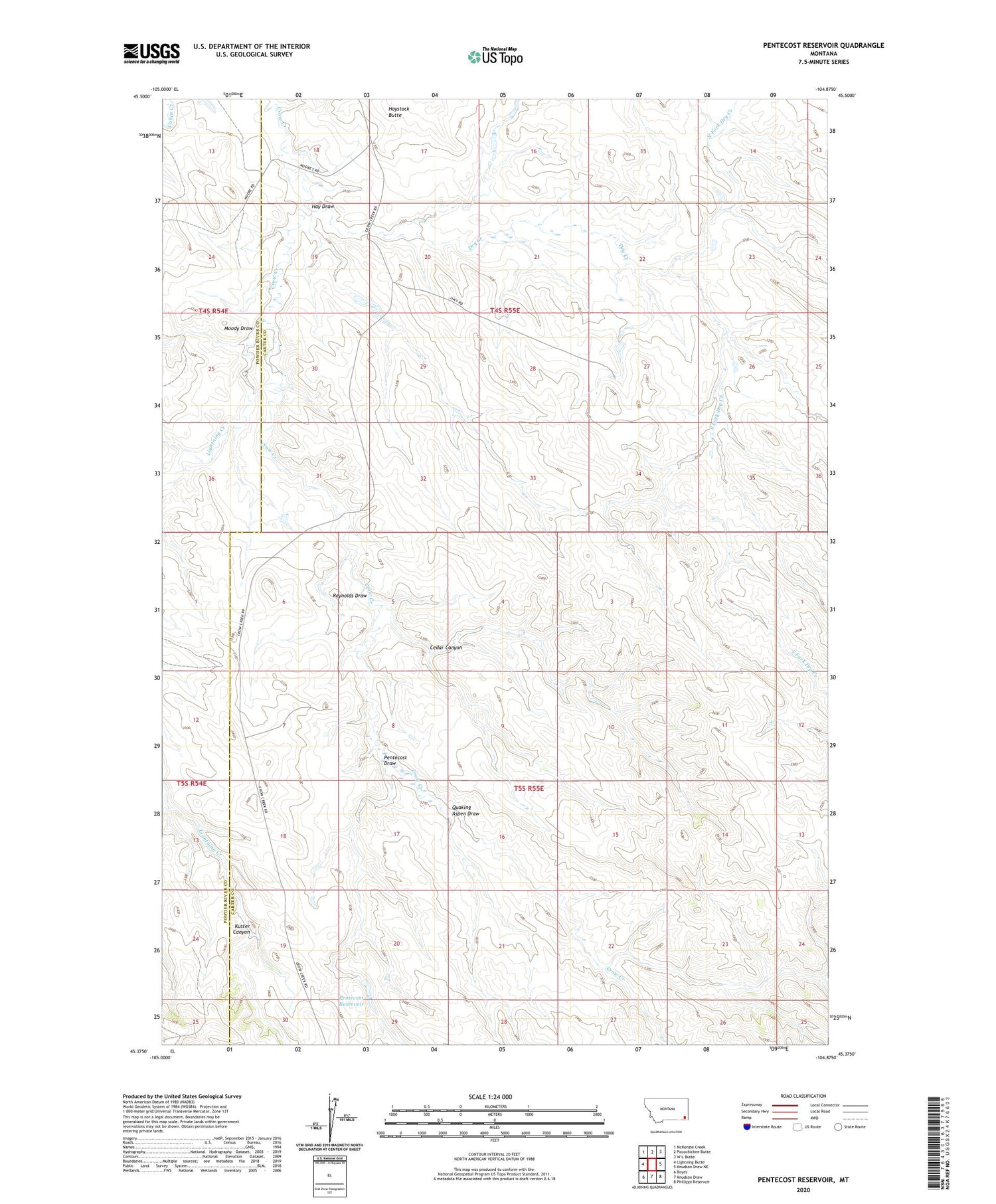
2020 topographic map quadrangle Pentecost Reservoir in the state of Montana. Scale: 1:24000. Based on the newly updated USGS 7.5' US Topo map series, this map is in the following counties: Carter, Powder River. The map contains contour data, water features, and other items you are used to seeing on USGS maps, but also has updated roads and other features. This is the next generation of topographic maps. Printed on high-quality waterproof paper with UV fade-resistant inks.
Quads adjacent to this one:
West: Lightning Butte
Northwest: McKenzie Creek
North: Pocochichee Butte
Northeast: W L Butte
East: Knudson Draw NE
Southeast: Phillippi Reservoir
South: Knudson Draw
Southwest: Boyes
Contains the following named places: 04S54E13CAA_01 Well, 04S54E13DAA_01 Well, 04S54E13DABD01 Well, 04S54E13DAC_01 Well, 04S54E24AC__01 Well, 04S55E08CDA_01 Well, 05S54E13ABC_01 Well, 05S54E24ACAB01 Well, 05S54E24DBD_01 Well, 05S55E07ACC_01 Well, 05S55E07CDCC01 Well, Cedar Canyon, Dry Creek, Hay Draw, Haystack Butte, Kuster Canyon, Lightning Creek, Moody Draw, North Fork Dry Creek, Pentecost Draw, Pentecost Reservoir, Quaking Aspen Draw, Reynolds Draw, South Fork Dry Creek