MyTopo
Pike Lake Montana US Topo Map
Couldn't load pickup availability
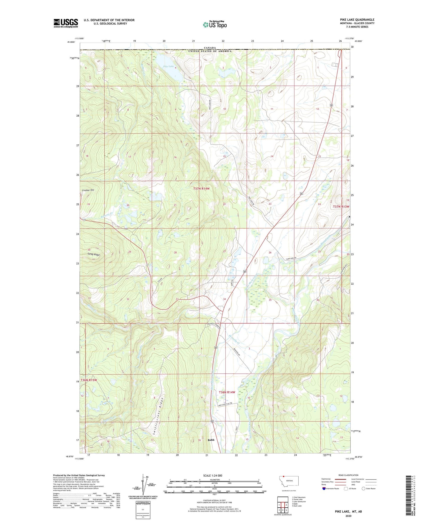
2020 topographic map quadrangle Pike Lake in the state of Montana. Scale: 1:24000. Based on the newly updated USGS 7.5' US Topo map series, this map is in the following counties: Glacier. The map contains contour data, water features, and other items you are used to seeing on USGS maps, but also has updated roads and other features. This is the next generation of topographic maps. Printed on high-quality waterproof paper with UV fade-resistant inks.
Quads adjacent to this one:
West: Chief Mountain
East: Goose Lake
Southeast: Duck Lake
South: Babb
Southwest: Lake Sherburne
Contains the following named places: Babb Census Designated Place, Chief Mountain Junction, Crusher Hill, Kennedy Creek, Kennedy Trading Post, Otatso Creek, Pike Lake, Port of Piegan, Staples Dam, United States Customs and Border Protection Piegan Port of Entry