MyTopo
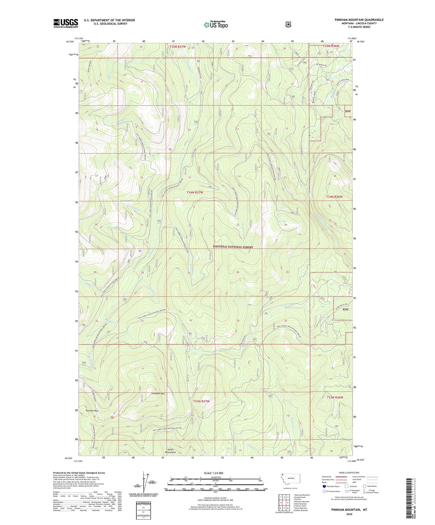
Pinkham Mountain Montana US Topo Map
Couldn't load pickup availability
Also explore the Pinkham Mountain Forest Service Topo of this same quad for updated USFS data
2024 topographic map quadrangle Pinkham Mountain in the state of Montana. Scale: 1:24000. Based on the newly updated USGS 7.5' US Topo map series, this map is in the following counties: Lincoln. The map contains contour data, water features, and other items you are used to seeing on USGS maps, but also has updated roads and other features. This is the next generation of topographic maps. Printed on high-quality waterproof paper with UV fade-resistant inks.
Quads adjacent to this one:
West: McGuire Mountain
Northwest: Beartrap Mountain
North: Eureka South
Northeast: Fortine
East: Edna Mountain
Southeast: Skillet Mountain
South: Davis Mountain
Southwest: Volcour Gulch
This map covers the same area as the classic USGS quad with code o48115f1.
Contains the following named places: Bear Lake, Beetle Creek, Buckhorn Creek, East Pinkham Creek, Finger Creek, Lydia Creek, Pink Creek, Pinkham Mountain, Sieminski Creek, Skid Creek, Still Creek, Telephone Creek, Tenmile Mountain, West Fork Pinkham Creek