
MyTopo
Pishkun Reservoir Montana US Topo Map
Couldn't load pickup availability
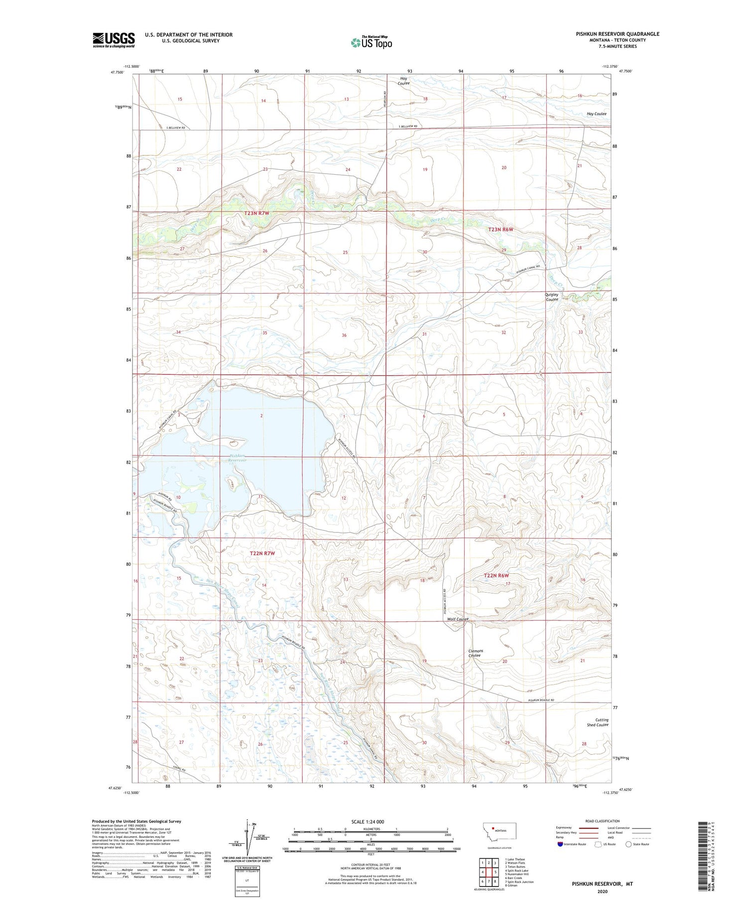
2020 topographic map quadrangle Pishkun Reservoir in the state of Montana. Scale: 1:24000. Based on the newly updated USGS 7.5' US Topo map series, this map is in the following counties: Teton. The map contains contour data, water features, and other items you are used to seeing on USGS maps, but also has updated roads and other features. This is the next generation of topographic maps. Printed on high-quality waterproof paper with UV fade-resistant inks.
Quads adjacent to this one:
West: Split Rock Lake
Northwest: Lake Theboe
North: Watson Flats
Northeast: Teton Buttes
East: Nunemaker Hill
Southeast: Gilman
South: Split Rock Junction
Southwest: Barr Creek
Contains the following named places: Pishkun Dikes 1 2 3 4 5 6 and 7, Pishkun National Wildlife Refuge, Pishkun Reservoir, Pishkun Reservoir Fishing Access Site, Quigley Coulee


