
MyTopo
Pleasant Prairie SW Montana US Topo Map
Couldn't load pickup availability
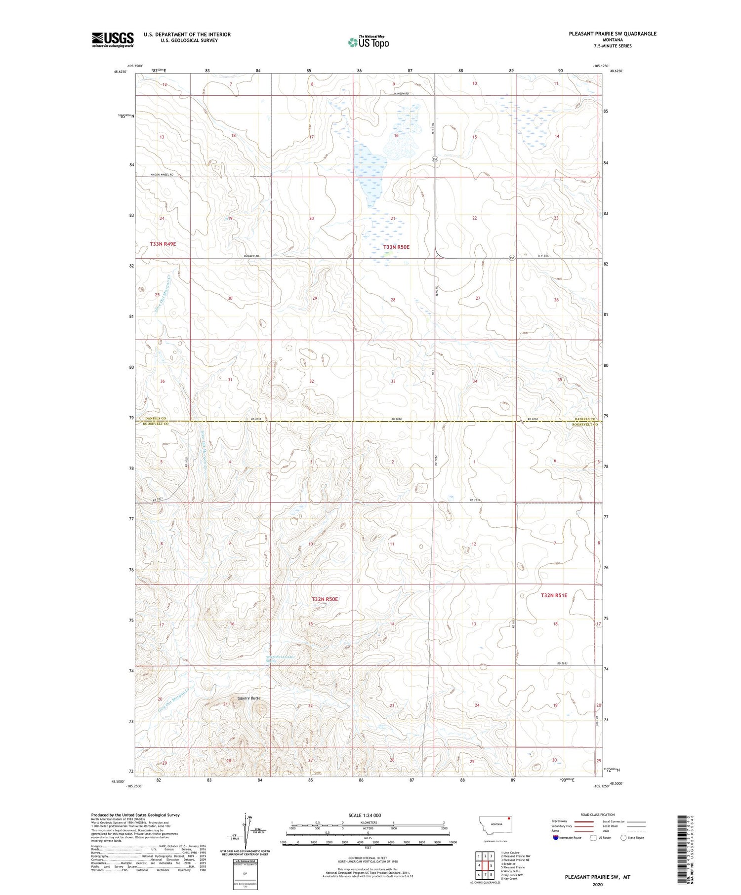
2020 topographic map quadrangle Pleasant Prairie SW in the state of Montana. Scale: 1:24000. Based on the newly updated USGS 7.5' US Topo map series, this map is in the following counties: Roosevelt, Daniels. The map contains contour data, water features, and other items you are used to seeing on USGS maps, but also has updated roads and other features. This is the next generation of topographic maps. Printed on high-quality waterproof paper with UV fade-resistant inks.
Quads adjacent to this one:
West: Bredette
Northwest: Line Coulee
North: Pleasant Prairie NW
Northeast: Pleasant Prairie NE
East: Pleasant Prairie
Southeast: Hay Creek
South: Hay Creek NW
Southwest: Windy Butte
Contains the following named places: 28N48E30ADCD01 Well, 32N50E02DDAC01 Well, 32N50E12AAAA01 Well, 32N50E21AAAA01 Spring, 32N51E21ABBC01 Well, 32N51E21ABCB01 Well, 33N50E09CCDC01 Well, 33N50E18BCBB01 Well, Gray School, Hertzberg School, Lundville Post Office, Square Butte


