MyTopo
Red Knob Montana US Topo Map
Couldn't load pickup availability
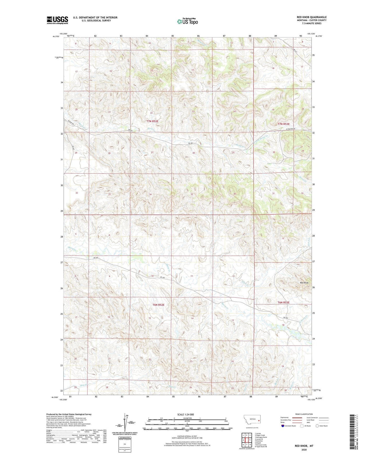
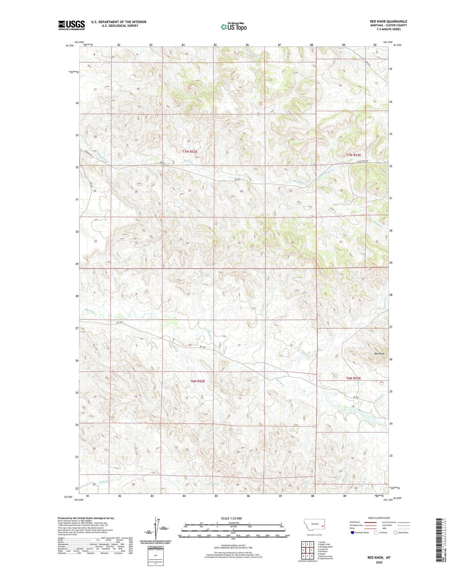
2020 topographic map quadrangle Red Knob in the state of Montana. Scale: 1:24000. Based on the newly updated USGS 7.5' US Topo map series, this map is in the following counties: Custer. The map contains contour data, water features, and other items you are used to seeing on USGS maps, but also has updated roads and other features. This is the next generation of topographic maps. Printed on high-quality waterproof paper with UV fade-resistant inks.
Quads adjacent to this one:
West: Locate SE
Northwest: Locate
North: Hogan Creek
Northeast: Montague Butte
East: Knowlton
Southeast: Tepee Butte NE
South: Pennock Creek
Southwest: Mizpah
Contains the following named places: 06N52E05DCDC01 Well, 06N53E18ADCB01 Well, 06N53E18BDCB01 Well, 06N53E21CBCB01 Well, 07N52E21DDCB01 Well, 07N52E26BCBA01 Well, 07N52E29CDDB01 Well, 07N53E07CABB01 Well, 07N53E23AAAA01 Well, 07N53E30DC__01 Well, Alice Creek, Bert Creek, Home Creek, North Fork Horse Creek, North Home Creek, Red Knob, Shirley-Ismay Division, Tub S Creek