MyTopo
Robbins Gulch Montana US Topo Map
Couldn't load pickup availability
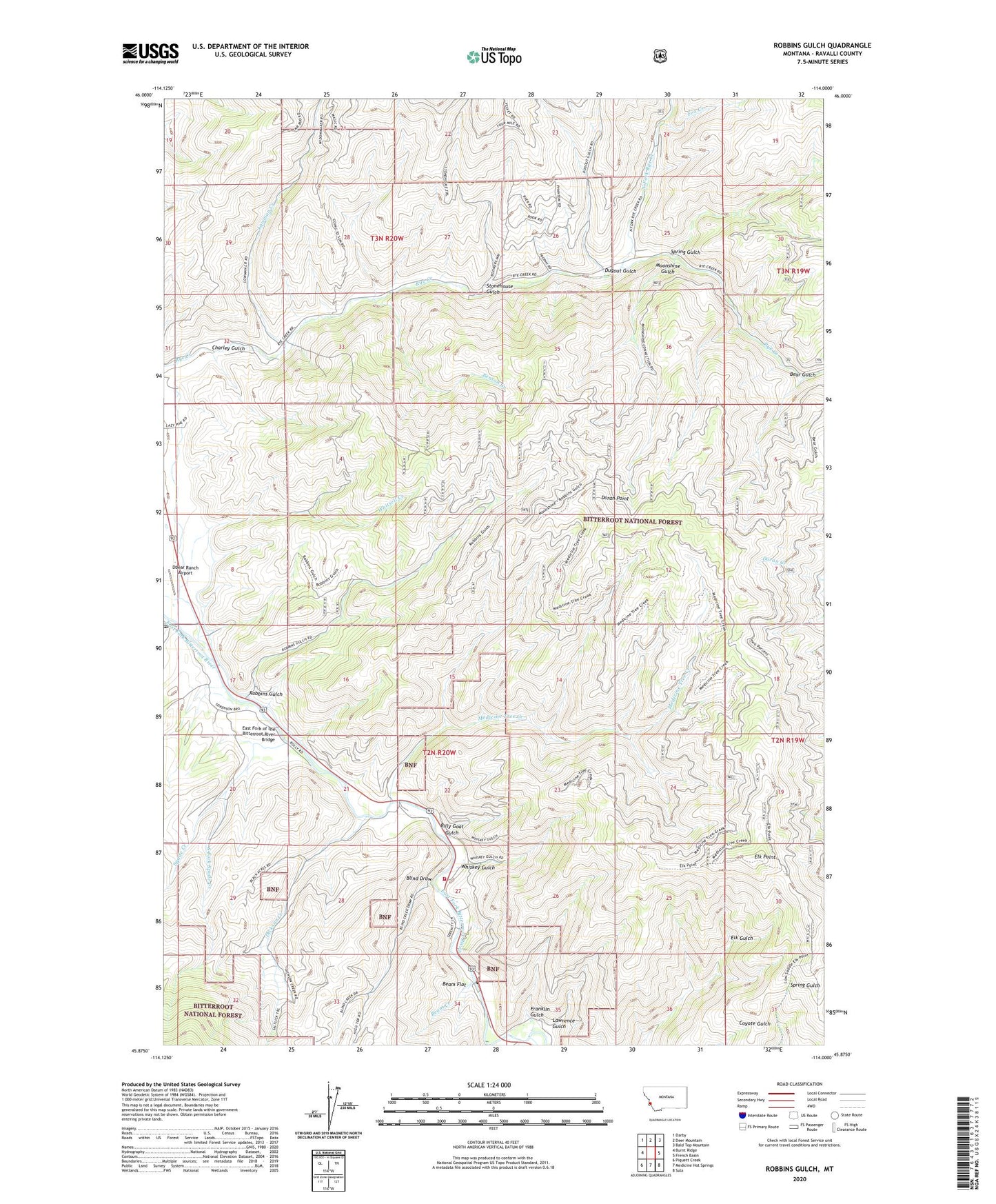
2020 topographic map quadrangle Robbins Gulch in the state of Montana. Scale: 1:24000. Based on the newly updated USGS 7.5' US Topo map series, this map is in the following counties: Ravalli. The map contains contour data, water features, and other items you are used to seeing on USGS maps, but also has updated roads and other features. This is the next generation of topographic maps. Printed on high-quality waterproof paper with UV fade-resistant inks.
Quads adjacent to this one:
West: Burnt Ridge
Northwest: Darby
North: Deer Mountain
Northeast: Bald Top Mountain
East: French Basin
Southeast: Sula
South: Medicine Hot Springs
Southwest: Piquett Creek
Contains the following named places: 02N20W22CBCA01 Well, 59827, Beam Creek, Beam Flat, Bear Gulch, Benson Creek, Billy Goat Gulch, Blind Draw, Charley Gulch, Conner, Conner Church, Conner Post Office, Corner Wesleyan Church, Dbear Ranch Airport, Dickson Creek, Doran Point, Dugout Gulch, East Fork of the Bitterroot River Bridge, Elk Point, Evelyn Post Office, Fox Creek, Franklin Gulch, Laird Creek, Lawrence Gulch, Lowman Creek, Medicine Tree Creek, Medicine Tree Historical Marker, Medicine Tree Point of Interest, Moonshine Gulch, North Fork Rye Creek, Robbins Gulch, Shigley Mobile Home Park, South Fork Spade Creek, Spade Creek, Spring Gulch, Stonehouse Gulch, Sula Rural Fire District Station 3, Whiskey Gulch, Whitsell Creek