MyTopo
Rough Creek SE Montana US Topo Map
Couldn't load pickup availability
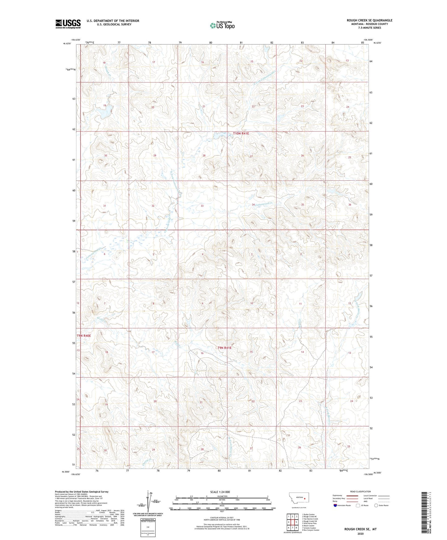
2024 topographic map quadrangle Rough Creek SE in the state of Montana. Scale: 1:24000. Based on the newly updated USGS 7.5' US Topo map series, this map is in the following counties: Rosebud. The map contains contour data, water features, and other items you are used to seeing on USGS maps, but also has updated roads and other features. This is the next generation of topographic maps. Printed on high-quality waterproof paper with UV fade-resistant inks.
Quads adjacent to this one:
West: Rough Creek SW
Northwest: Rudie Coulee
North: Rough Creek NE
Northeast: Van Burton Creek
East: Wild Horse Pass
Southeast: Box Canyon Coulee
South: Schultz Coulee
Southwest: Black Coulee
This map covers the same area as the classic USGS quad with code o46106e5.
Contains the following named places: Adams Number 3 Dam, Adams Number 4 Dam, Big Timber Number 4 Dam, Gray Number 13 Dam, Gray Ranch, Hook Number 20 Dam, Hook Number 24 Dam, Montana Number 4 Dam, North Fork Cottonwood Creek, Rough Creek Dam