
MyTopo
Silesia Montana US Topo Map
Couldn't load pickup availability
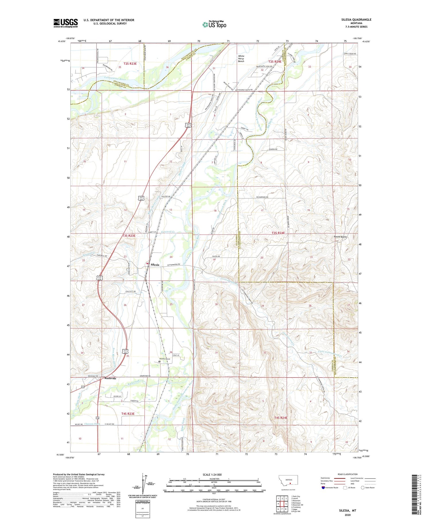
2020 topographic map quadrangle Silesia in the state of Montana. Scale: 1:24000. Based on the newly updated USGS 7.5' US Topo map series, this map is in the following counties: Carbon, Yellowstone, Stillwater. The map contains contour data, water features, and other items you are used to seeing on USGS maps, but also has updated roads and other features. This is the next generation of topographic maps. Printed on high-quality waterproof paper with UV fade-resistant inks.
Quads adjacent to this one:
West: Montaqua
Northwest: Park City
North: Laurel
Northeast: Mossmain
East: Mossmain SW
Southeast: Pryor NW
South: Edgar
Southwest: Fromberg
Contains the following named places: 02S24E28CCCD01 Well, 02S24E31BDCA01 Well, 02S24E32DCAC01 Well, 02S24E33AAAB01 Well, 03S23E13DBBD01 Well, 03S23E23DAAA01 Well, 03S23E23DCAB01 Well, 03S23E24DACA01 Well, 03S23E26DACC01 Well, 03S23E26DCCA01 Well, 03S23E36CAAA01 Well, 03S24E05ADAB01 Well, 03S24E06BAAA01 Well, 03S24E06DACC01 Well, 03S24E06DDAA01 Well, 03S24E06DDCD01 Well, 03S24E07AAAB01 Well, 03S24E07CBBA01 Well, 03S24E08BBBA01 Well, 03S24E08BBBA02 Well, 03S24E18CDAC01 Well, 04S23E01BACC01 Well, Big Ditch, Blum, Buffalo Mirage Fishing Access Site, Cottonwood Creek, Farewell Creek, Free Silver Ditch, Glennwood Ditch, Hendey, Howell Grave, Joliet Rural Fire District 1 Silesia Station, Little Cottonwood Creek, Mason, Mason Canal, Mount Aqua Trailer Court, Rock Creek, Rockcreek Campground, Rockvale, Rockvale Census Designated Place, Rockvale Post Office, Rockvale School, Round Butte, Silesia, Silesia Census Designated Place, Silesia Post Office, Silesia School, Smith Ditch, Webster School, White Horse Bench, White Horse Canal, White Horse School


