MyTopo
Montaqua Montana US Topo Map
Couldn't load pickup availability
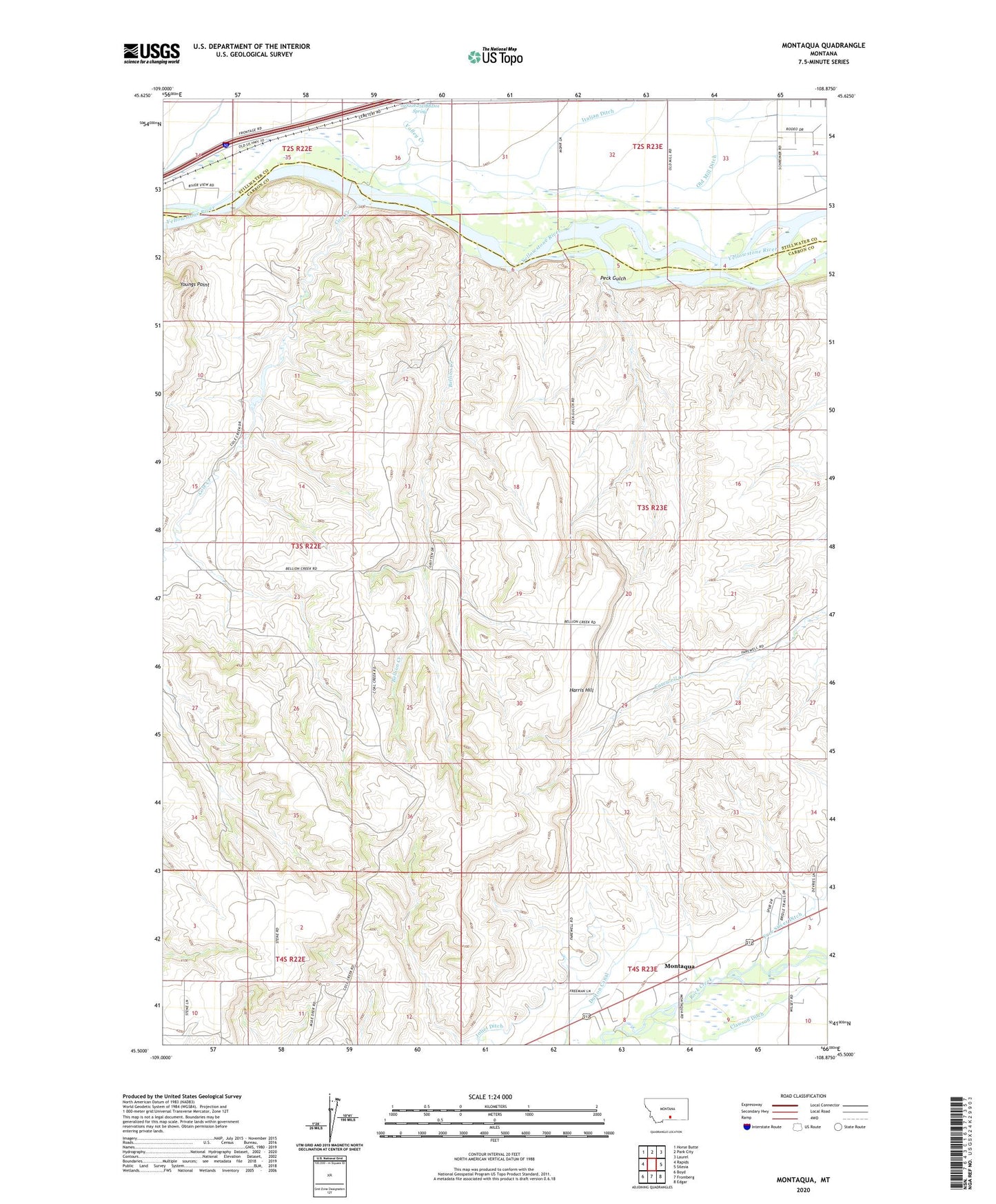
2024 topographic map quadrangle Montaqua in the state of Montana. Scale: 1:24000. Based on the newly updated USGS 7.5' US Topo map series, this map is in the following counties: Carbon, Stillwater. The map contains contour data, water features, and other items you are used to seeing on USGS maps, but also has updated roads and other features. This is the next generation of topographic maps. Printed on high-quality waterproof paper with UV fade-resistant inks.
Quads adjacent to this one:
West: Rapids
Northwest: Horse Butte
North: Park City
Northeast: Laurel
East: Silesia
Southeast: Edgar
South: Fromberg
Southwest: Boyd
This map covers the same area as the classic USGS quad with code o45108e8.
Contains the following named places: 02S22E25DBBD01 Spring, 02S22E34ADCB01 Well, 02S22E36BCAA01 Well, 02S23E31CBAA01 Well, 02S23E32BAAA01 Well, 02S23E32CCBB01 Well, 02S23E33BBCA01 Well, 02S23E33CCBC01 Well, 02S23E34CBCA01 Well, 03S22E02CADB01 Well, 03S23E31BABA01 Well, 04S23E03BCDA01 Well, 04S23E08AA__01 Well, 04S23E09BCBC01 Well, 59041, Bellion Creek, Clawson Ditch, Cole Creek, Cole Creek School, Dutton Canal, Four Buttes School, Golden Glenn Number 1 Dam, Harris Hill, Homestead Island Fishing Access Site, Joliet Division, Mont Aqua Hot Spring, Montaqua, Montaqua Census Designated Place, Park City Cemetery, Peck Gulch, Valley Creek, Youngs Point


