MyTopo
Snake Butte Montana US Topo Map
Couldn't load pickup availability
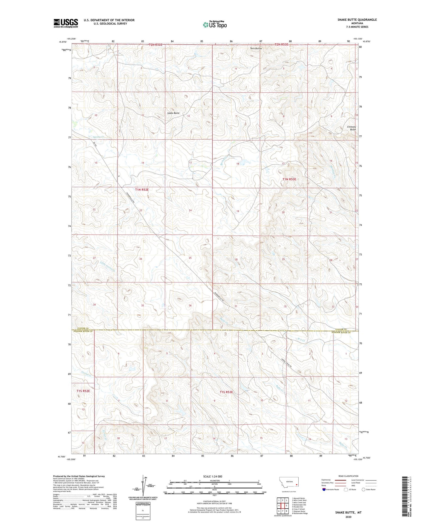
2020 topographic map quadrangle Snake Butte in the state of Montana. Scale: 1:24000. Based on the newly updated USGS 7.5' US Topo map series, this map is in the following counties: Custer, Powder River. The map contains contour data, water features, and other items you are used to seeing on USGS maps, but also has updated roads and other features. This is the next generation of topographic maps. Printed on high-quality waterproof paper with UV fade-resistant inks.
Quads adjacent to this one:
West: Rattlesnake Hill
Northwest: Maxwell Butte
North: Mills Creek West
Northeast: Mills Creek East
East: Powderville
Southeast: Rattlesnake Ridge
South: Oliphant Butte
Southwest: Cross S School
Contains the following named places: 01N52E14CCCB01 Well, 01N52E25CA__01 Well, 01N52E26CDAA01 Well, 01N53E29CAC_01 Well, 01S53E15ACDB01 Well, Chimney Butte, Snake Butte, Spring Creek, Spring Creek School, Twin Buttes