MyTopo
Soda Spring Coulee Montana US Topo Map
Couldn't load pickup availability
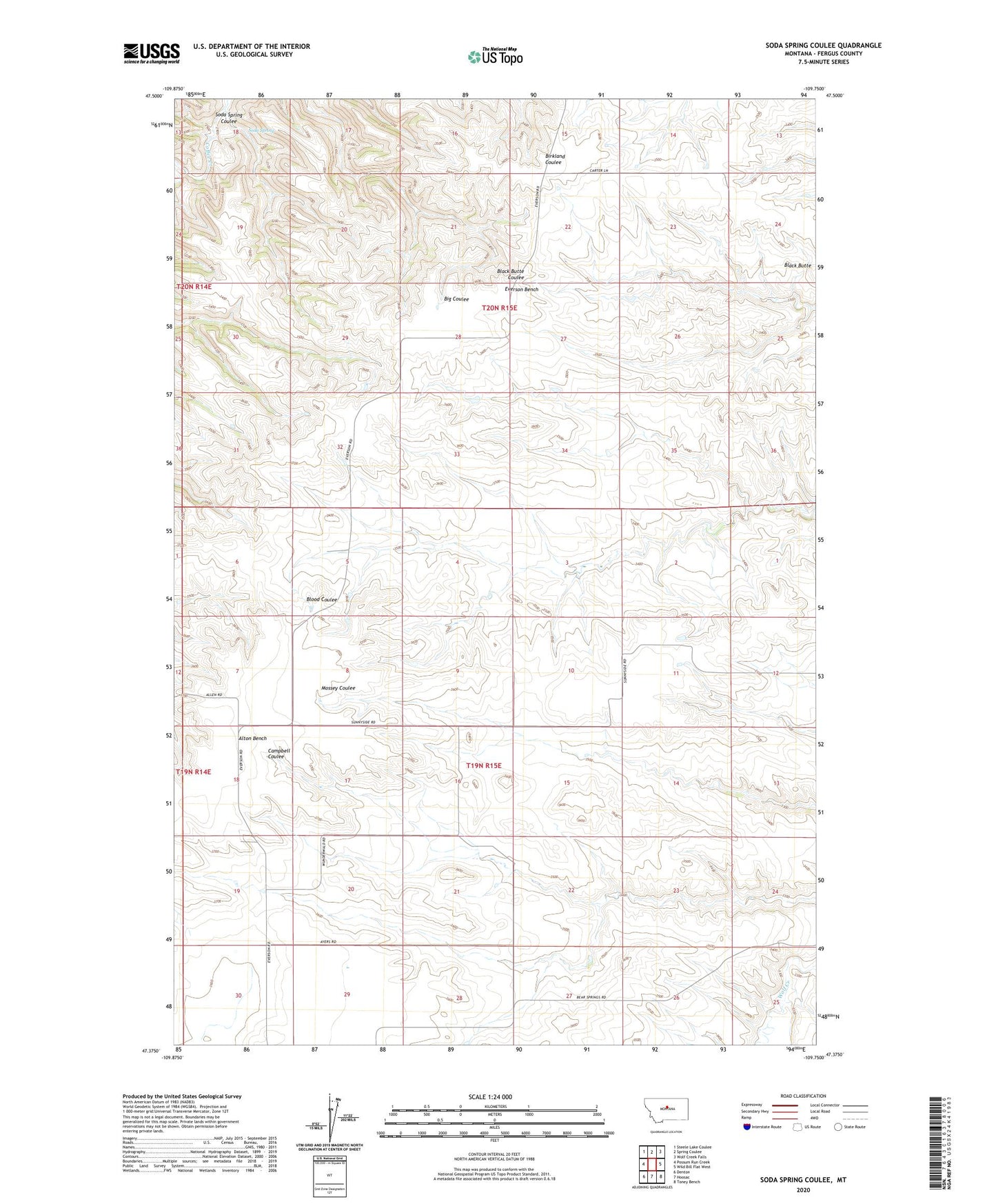
2024 topographic map quadrangle Soda Spring Coulee in the state of Montana. Scale: 1:24000. Based on the newly updated USGS 7.5' US Topo map series, this map is in the following counties: Fergus. The map contains contour data, water features, and other items you are used to seeing on USGS maps, but also has updated roads and other features. This is the next generation of topographic maps. Printed on high-quality waterproof paper with UV fade-resistant inks.
Quads adjacent to this one:
West: Possum Run Creek
Northwest: Steele Lake Coulee
North: Spring Coulee
Northeast: Wolf Creek Falls
East: Wild Bill Flat West
Southeast: Toney Bench
South: Hoosac
Southwest: Denton
This map covers the same area as the classic USGS quad with code o47109d7.
Contains the following named places: 19N15E05BDB_01 Well, 19N15E08DCC_01 Well, 19N15E09DAA_01 Well, 19N15E11ACC_01 Well, 19N15E18BDD_01 Well, 59430, Alton Post Office, Alton School, Denton Division, Illinois School, Soda Spring, Soda Spring Coulee, Sunnyside School, Thompson School