MyTopo
Spotted Bear Mountain Montana US Topo Map
Couldn't load pickup availability
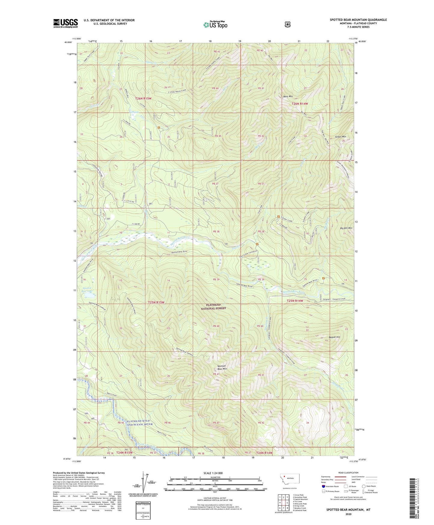
2020 topographic map quadrangle Spotted Bear Mountain in the state of Montana. Scale: 1:24000. Based on the newly updated USGS 7.5' US Topo map series, this map is in the following counties: Flathead. The map contains contour data, water features, and other items you are used to seeing on USGS maps, but also has updated roads and other features. This is the next generation of topographic maps. Printed on high-quality waterproof paper with UV fade-resistant inks.
Quads adjacent to this one:
West: Tin Creek
Northwest: Circus Peak
North: Horseshoe Peak
Northeast: Capitol Mountain
East: Whitcomb Peak
Southeast: Cathedral Peak
South: Meadow Creek
Southwest: String Creek
Contains the following named places: Beaver Hill, Bent Creek, Bent Mountain, Big Bill Creek, Flat Creek, Green Mountain, Green Mountain Trail, Jungle Creek, Nanny Creek, Sergeant Creek, South Creek, Spotted Bear Lake, Spotted Bear Mountain, Spotted Bear Mountain Lookout, Spotted Bear Mountain Trail, Spy Mountain Trail, Trail Creek, Webb Lake