MyTopo
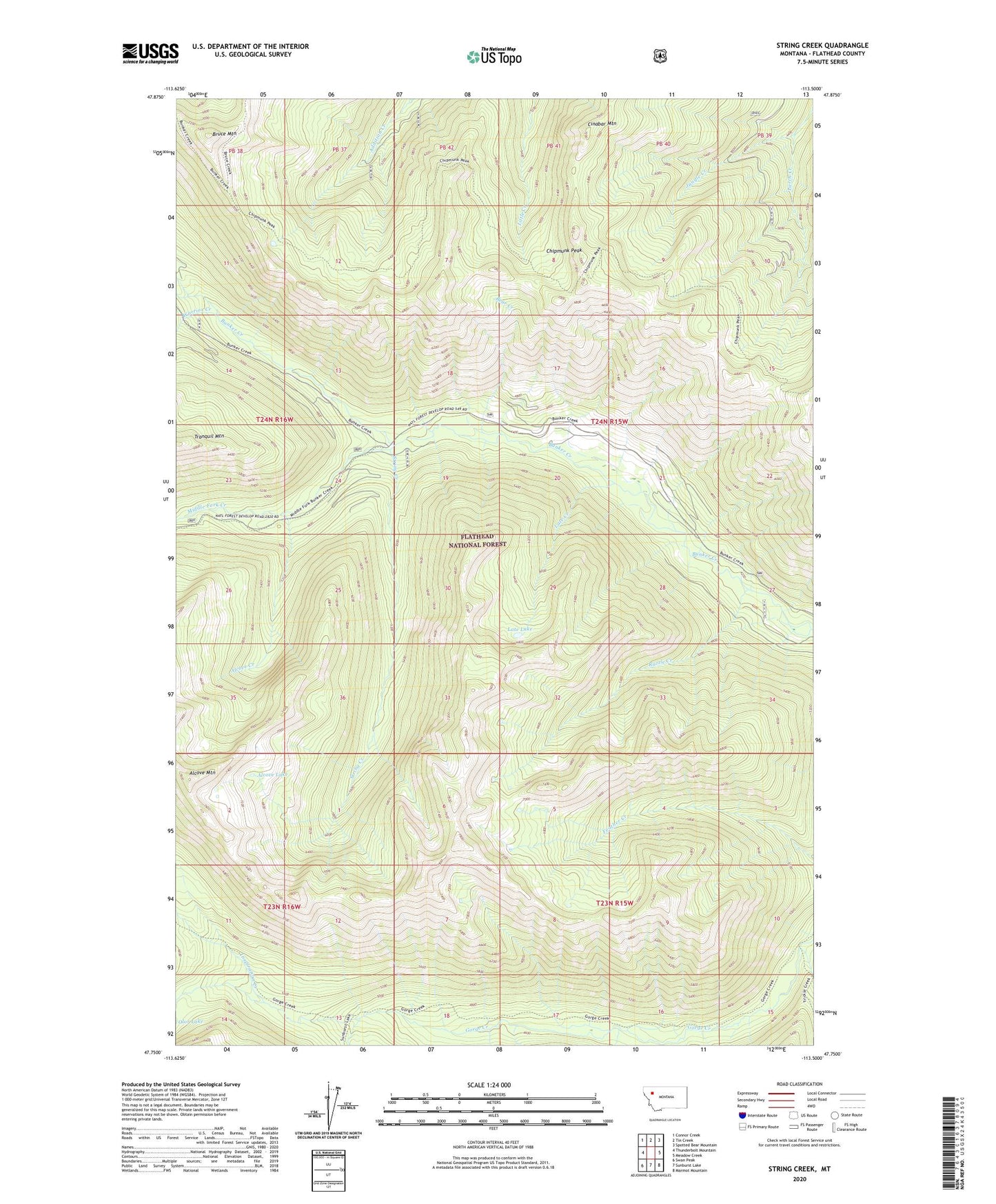
String Creek Montana US Topo Map
Couldn't load pickup availability
Also explore the String Creek Forest Service Topo of this same quad for updated USFS data
2024 topographic map quadrangle String Creek in the state of Montana. Scale: 1:24000. Based on the newly updated USGS 7.5' US Topo map series, this map is in the following counties: Flathead. The map contains contour data, water features, and other items you are used to seeing on USGS maps, but also has updated roads and other features. This is the next generation of topographic maps. Printed on high-quality waterproof paper with UV fade-resistant inks.
Quads adjacent to this one:
West: Thunderbolt Mountain
Northwest: Connor Creek
North: Tin Creek
Northeast: Spotted Bear Mountain
East: Meadow Creek
Southeast: Marmot Mountain
South: Sunburst Lake
Southwest: Swan Peak
This map covers the same area as the classic USGS quad with code o47113g5.
Contains the following named places: Alcove Creek, Alcove Lake, Alcove Mountain, Bear Creek, Bruce Mountain, Chipmunk Peak, Cinabar Mountain, Deadfall Creek, Inspiration Creek, Larch Creek, Late Creek, Late Lake, Middle Fork Creek, Razzle Creek, Stadium Creek, String Creek, Warrior Creek