MyTopo
Square Butte SE Montana US Topo Map
Couldn't load pickup availability
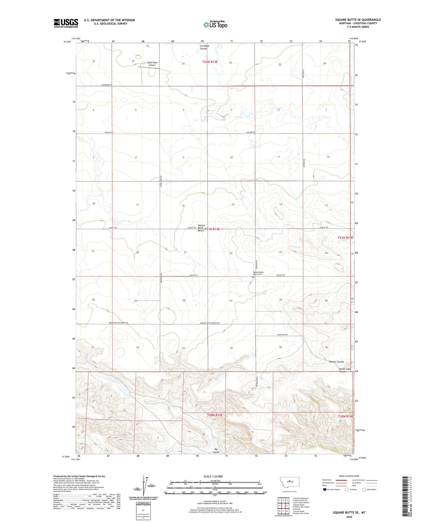
2024 topographic map quadrangle Square Butte SE in the state of Montana. Scale: 1:24000. Based on the newly updated USGS 7.5' US Topo map series, this map is in the following counties: Chouteau. The map contains contour data, water features, and other items you are used to seeing on USGS maps, but also has updated roads and other features. This is the next generation of topographic maps. Printed on high-quality waterproof paper with UV fade-resistant inks.
Quads adjacent to this one:
West: Square Butte
Northwest: Dammel Reservoir
North: Square Butte NE
Northeast: Last Chance Bench
East: Steele Lake Coulee
Southeast: Possum Run Creek
South: Strouf Island
Southwest: Pownal
This map covers the same area as the classic USGS quad with code o47110e1.
Contains the following named places: 20N13E05ABCB01 Well, 21N13E08DDDA01 Well, 22N13E32DBCA01 Well, Deuteronomy Dam, Hawarden Hall, Hawarden Post Office, Hawarden School, Little Phantom Dam, Owen Bros Airport, Square Butte Bench, Square Butte Bench Cemetery