MyTopo
Suction Butte Montana US Topo Map
Couldn't load pickup availability
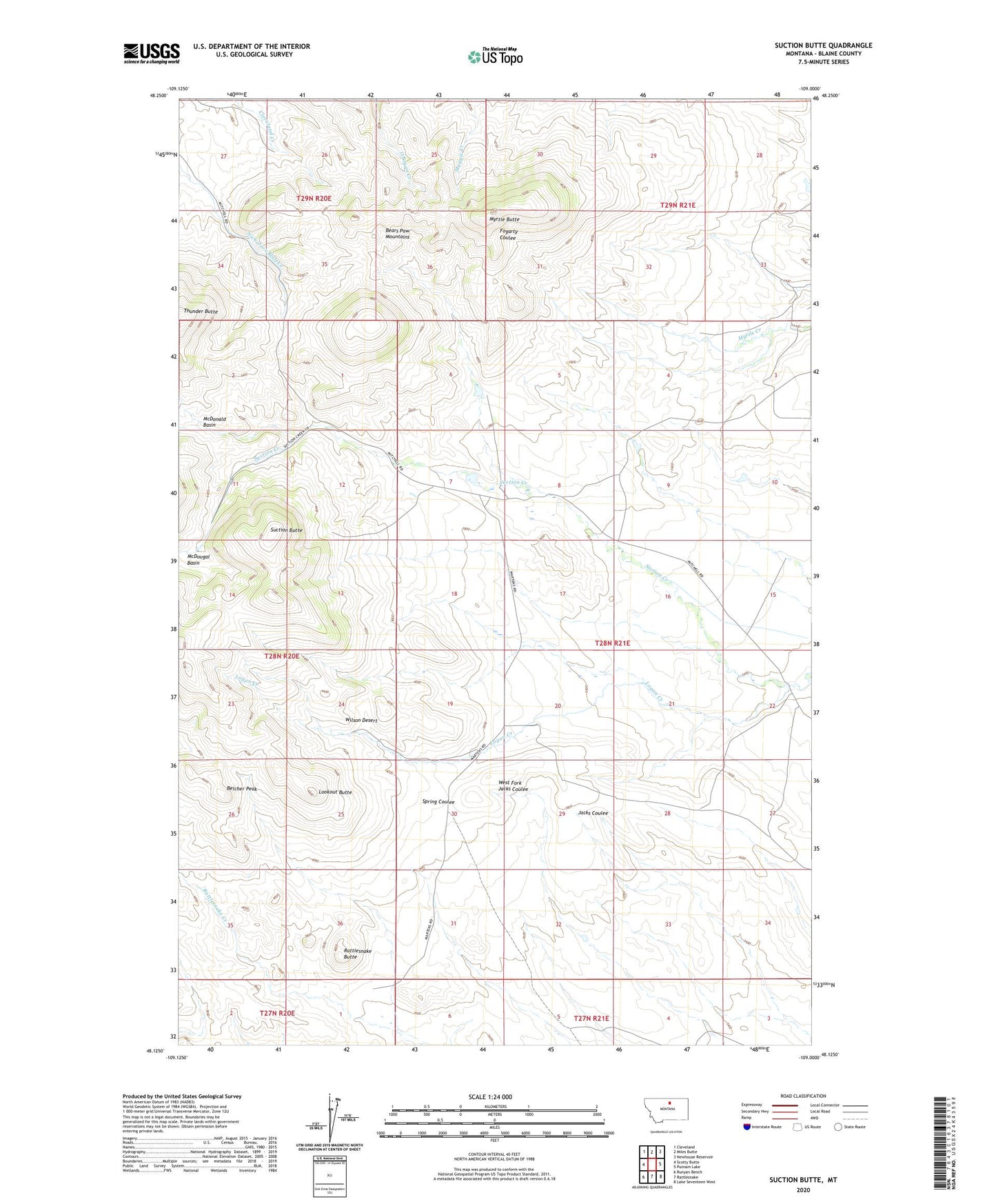
2020 topographic map quadrangle Suction Butte in the state of Montana. Scale: 1:24000. Based on the newly updated USGS 7.5' US Topo map series, this map is in the following counties: Blaine. The map contains contour data, water features, and other items you are used to seeing on USGS maps, but also has updated roads and other features. This is the next generation of topographic maps. Printed on high-quality waterproof paper with UV fade-resistant inks.
Quads adjacent to this one:
West: Scotty Butte
Northwest: Cleveland
North: Miles Butte
Northeast: Newhouse Reservoir
East: Putnam Lake
Southeast: Lake Seventeen West
South: Rattlesnake
Southwest: Runyan Bench
Contains the following named places: Belcher Peak, Logan Creek, Lookout Butte, McDonald Basin, McDougal Basin, Myrtle Butte, Rattlesnake Butte, Suction Butte, Thunder Butte, Wilson Desert